Area Overview for B67 5EG
Photos of B67 5EG
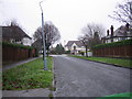
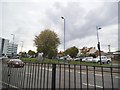
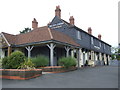
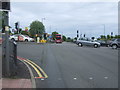
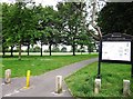
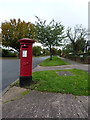
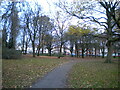
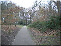
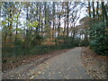
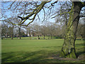
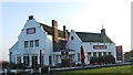
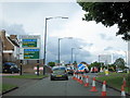
18 photos from this area
Area Information
Key information about the B67 5EG including its size, population, and administrative classification.
- Area Type
- Postcode
- Area Size
- 3845 m²
- Population
- 1455
- Population Density
- 1966 people/km²
House Prices in B67 5EG
10
Properties
£211,969
Average Sold Price
£78,000
Lowest Price
£365,000
Highest Price
Showing 10 properties
| Address | Type | Beds | Baths | Last Sale Price | Last Sale Date | |
|---|---|---|---|---|---|---|
| 43 Beechwood Road, Smethwick, B67 5EG | Retail | 3 | 1 | £365,000 | May 2024 | |
| 39 Beechwood Road, Smethwick, B67 5EG | Semi-detached | 3 | 1 | £265,000 | Feb 2020 | |
| 47 Beechwood Road, Smethwick, B67 5EG | Bungalow | 1 | - | £256,000 | Feb 2020 | |
| 41 Beechwood Road, Smethwick, B67 5EG | Semi-detached | 3 | 1 | £248,000 | Jul 2015 | |
| 55 Beechwood Road, Smethwick, B67 5EG | Bungalow | 2 | 1 | £186,900 | Mar 2011 | |
| 45 Beechwood Road, Smethwick, B67 5EG | Semi-detached | - | - | £217,000 | Jun 2007 | |
| 51 Beechwood Road, Smethwick, B67 5EG | Semi-detached | - | - | £79,850 | Apr 1999 | |
| 57 Beechwood Road, Smethwick, B67 5EG | Semi-detached | - | - | £78,000 | Dec 1998 | |
| 49 Beechwood Road, Smethwick, B67 5EG | Terraced | - | - | - | - | |
| 53 Beechwood Road, Smethwick, B67 5EG | Bungalow | 2 | 1 | - | - |
Energy Efficiency in B67 5EG
Amenities
Schools
| Rank | School | Type | Entry gender | Ages |
|---|
Explore more schools in this area
Go to Schools tabDemographics
Household Size
Family (3-5 people)
most common
Accommodation Type
Houses
most common
Tenure
76
majority
Ethnic Group
White
most common
Religion
N/A
most common
Household Composition
N/A
most common
Age
47
median
Adults (30-64 years)
most common
Household Deprivation
N/A
with no deprivation
NS-SEC
49
in Lower managerial occupations
Explore more demographic insights in this area
Go to Demographics tabPlanning
Planning Constraints
- Flood RiskPremium
- Ramsar Wetland SitesPremium
- Area of Outstanding Natural BeautyPremium
- Protected Nature ReservePremium
- Protected WoodlandPremium