Area Overview for B66 3SG
Photos of B66 3SG
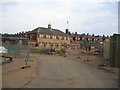
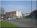
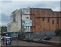
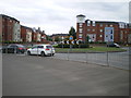
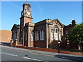
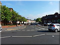
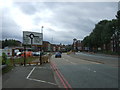
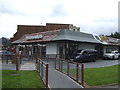
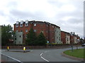
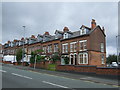
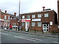
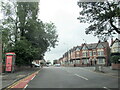
38 photos from this area
Area Information
Key information about the B66 3SG including its size, population, and administrative classification.
- Area Type
- Postcode
- Area Size
- 8230 m²
- Population
- 2055
- Population Density
- 12276 people/km²
House Prices in B66 3SG
34
Properties
£89,354
Average Sold Price
£34,000
Lowest Price
£165,000
Highest Price
Showing 34 properties
| Address | Type | Beds | Baths | Last Sale Price | Last Sale Date | |
|---|---|---|---|---|---|---|
| 68 Durban Road, Smethwick, B66 3SG | house | - | - | £165,000 | Jun 2021 | |
| 81 Durban Road, Smethwick, B66 3SG | Detached | 2 | 1 | £125,000 | Mar 2020 | |
| 78 Durban Road, Smethwick, B66 3SG | Terraced | 3 | 1 | £130,000 | Apr 2019 | |
| 67 Durban Road, Smethwick, B66 3SG | Terraced | 3 | - | £122,000 | Jun 2013 | |
| 83 Durban Road, Smethwick, B66 3SG | house | 5 | - | £140,000 | May 2010 | |
| 82 Durban Road, Smethwick, B66 3SG | house | - | - | £90,500 | Apr 2010 | |
| 74 Durban Road, Smethwick, B66 3SG | house | - | - | £95,000 | Mar 2009 | |
| 73 Durban Road, Smethwick, B66 3SG | house | - | - | £96,950 | Apr 2006 | |
| 64, Scribbans Place, Durban Road, Smethwick, B66 3SG | Flat | - | - | £90,000 | Jan 2006 | |
| 75 Durban Road, Smethwick, B66 3SG | house | - | - | £40,000 | Jul 2001 |
Page 1 of 4
Energy Efficiency in B66 3SG
Amenities
Schools
| Rank | School | Type | Entry gender | Ages |
|---|
Explore more schools in this area
Go to Schools tabDemographics
Household Size
Family (3-5 people)
most common
Accommodation Type
Houses
most common
Tenure
32
majority
Ethnic Group
asian_total
most common
Religion
N/A
most common
Household Composition
N/A
most common
Age
22
median
Adults (30-64 years)
most common
Household Deprivation
N/A
with no deprivation
NS-SEC
15
in Lower managerial occupations
Explore more demographic insights in this area
Go to Demographics tabPlanning
Planning Constraints
- Flood RiskPremium
- Ramsar Wetland SitesPremium
- Area of Outstanding Natural BeautyPremium
- Protected Nature ReservePremium
- Protected WoodlandPremium