Area Overview for B66 3NE
Photos of B66 3NE
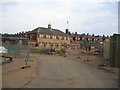
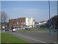
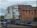
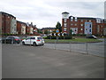

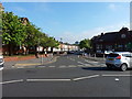
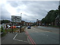
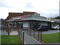
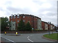
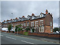
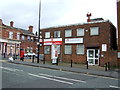
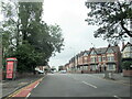
38 photos from this area
Area Information
Key information about the B66 3NE including its size, population, and administrative classification.
- Area Type
- Postcode
- Area Size
- 5676 m²
- Population
- 2055
- Population Density
- 12276 people/km²
House Prices in B66 3NE
19
Properties
£95,573
Average Sold Price
£28,000
Lowest Price
£156,000
Highest Price
Showing 19 properties
| Address | Type | Beds | Baths | Last Sale Price | Last Sale Date | |
|---|---|---|---|---|---|---|
| 2 Raglan Road, Smethwick, B66 3NE | house | 3 | - | £139,000 | Aug 2025 | |
| 1 Raglan Road, Smethwick, B66 3NE | Semi-detached | 3 | 1 | £127,500 | Aug 2021 | |
| 18 Raglan Road, Smethwick, B66 3NE | Terraced | 3 | 1 | £156,000 | Mar 2021 | |
| 12 Raglan Road, Smethwick, B66 3NE | Flat | 1 | 1 | £110,000 | Jan 2021 | |
| 8 Raglan Road, Smethwick, B66 3NE | Semi-detached | 3 | 1 | £125,000 | Sep 2019 | |
| 17 Raglan Road, Smethwick, B66 3NE | Semi-detached | 3 | 1 | £92,000 | Aug 2015 | |
| 3 Raglan Road, Smethwick, B66 3NE | house | - | - | £89,000 | Nov 2009 | |
| 13 Raglan Road, Smethwick, B66 3NE | house | - | - | £61,000 | Nov 2008 | |
| 9 Raglan Road, Smethwick, B66 3NE | house | - | - | £96,000 | Nov 2007 | |
| 10 Raglan Road, Smethwick, B66 3NE | house | - | - | £85,000 | Jan 2007 |
Page 1 of 2
Energy Efficiency in B66 3NE
Amenities
Schools
| Rank | School | Type | Entry gender | Ages |
|---|
Explore more schools in this area
Go to Schools tabDemographics
Household Size
Family (3-5 people)
most common
Accommodation Type
Houses
most common
Tenure
32
majority
Ethnic Group
asian_total
most common
Religion
N/A
most common
Household Composition
N/A
most common
Age
22
median
Adults (30-64 years)
most common
Household Deprivation
N/A
with no deprivation
NS-SEC
15
in Lower managerial occupations
Explore more demographic insights in this area
Go to Demographics tabPlanning
Planning Constraints
- Flood RiskPremium
- Ramsar Wetland SitesPremium
- Area of Outstanding Natural BeautyPremium
- Protected Nature ReservePremium
- Protected WoodlandPremium