Area Overview for B66 1RA
Photos of B66 1RA
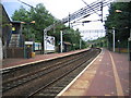
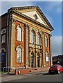
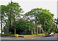
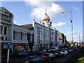
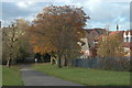
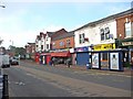
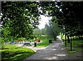
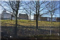
100 photos from this area
Area Information
Key information about the B66 1RA including its size, population, and administrative classification.
- Area Type
- Postcode
- Area Size
- 3.1 hectares
- Population
- 2943
- Population Density
- 4632 people/km²
House Prices in B66 1RA
80
Properties
£140,371
Average Sold Price
£62,950
Lowest Price
£255,000
Highest Price
Showing 80 properties
| Address | Type | Beds | Baths | Last Sale Price | Last Sale Date | |
|---|---|---|---|---|---|---|
| 44 Doulton Drive, Smethwick, B66 1RA | Detached | 6 | 2 | £160,000 | Mar 2025 | |
| 68 Doulton Drive, Smethwick, B66 1RA | Semi-detached | 2 | 1 | £200,000 | Apr 2024 | |
| 59 Doulton Drive, Smethwick, B66 1RA | Terraced | 2 | 1 | £186,000 | Jan 2024 | |
| 51 Doulton Drive, Smethwick, B66 1RA | house | 2 | 1 | £165,000 | Apr 2023 | |
| 65 Doulton Drive, Smethwick, B66 1RA | Retail | 2 | 1 | £180,000 | Oct 2022 | |
| 73 Doulton Drive, Smethwick, B66 1RA | house | - | - | £255,000 | Oct 2021 | |
| 66 Doulton Drive, Smethwick, B66 1RA | Terraced | 2 | 1 | £145,000 | Jul 2021 | |
| 74 Doulton Drive, Smethwick, B66 1RA | house | - | - | £195,000 | Apr 2021 | |
| 20 Doulton Drive, Smethwick, B66 1RA | Terraced | 2 | 1 | £145,000 | Jan 2020 | |
| 31 Doulton Drive, Smethwick, B66 1RA | Semi-detached | 3 | 1 | £195,500 | Apr 2019 |
Page 1 of 8
Energy Efficiency in B66 1RA
Amenities
Schools
| Rank | School | Type | Entry gender | Ages |
|---|
Explore more schools in this area
Go to Schools tabDemographics
Household Size
Family (3-5 people)
most common
Accommodation Type
Houses
most common
Tenure
44
majority
Ethnic Group
asian_total
most common
Religion
N/A
most common
Household Composition
N/A
most common
Age
22
median
Adults (30-64 years)
most common
Household Deprivation
N/A
with no deprivation
NS-SEC
18
in Lower managerial occupations
Explore more demographic insights in this area
Go to Demographics tabPlanning
Planning Constraints
- Flood RiskPremium
- Ramsar Wetland SitesPremium
- Area of Outstanding Natural BeautyPremium
- Protected Nature ReservePremium
- Protected WoodlandPremium