Area Overview for B65 9LR
Photos of B65 9LR
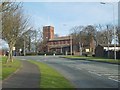
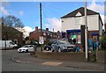
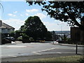
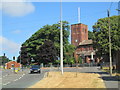
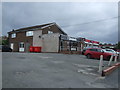
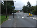
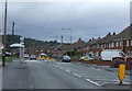
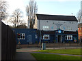
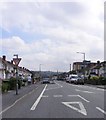
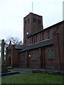
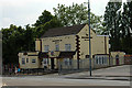
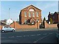
12 photos from this area
Area Information
Key information about the B65 9LR including its size, population, and administrative classification.
- Area Type
- Postcode
- Area Size
- 1.1 hectares
- Population
- Not available
- Population Density
- Not available
House Prices in B65 9LR
25
Properties
£146,246
Average Sold Price
£52,000
Lowest Price
£210,000
Highest Price
Showing 25 properties
| Address | Type | Beds | Baths | Last Sale Price | Last Sale Date | |
|---|---|---|---|---|---|---|
| 31 Bell End, Rowley Regis, B65 9LR | Detached | 3 | - | £130,000 | Jul 2024 | |
| 48 Bell End, Rowley Regis, B65 9LR | house | 2 | 1 | £167,500 | May 2022 | |
| 27 Bell End, Rowley Regis, B65 9LR | house | 3 | - | £210,000 | Aug 2021 | |
| 32 Bell End, Rowley Regis, B65 9LR | Detached | 3 | 1 | £185,000 | Jun 2019 | |
| 45 Bell End, Rowley Regis, B65 9LR | house | - | - | £129,000 | Oct 2018 | |
| 33 Bell End, Rowley Regis, B65 9LR | Detached | 4 | 2 | £162,000 | May 2018 | |
| 46 Bell End, Rowley Regis, B65 9LR | Terraced | 3 | 1 | £111,500 | Aug 2016 | |
| 26A Bell End, Rowley Regis, B65 9LR | Detached | 3 | - | £165,500 | Mar 2016 | |
| 50 Bell End, Rowley Regis, B65 9LR | Terraced | 3 | - | £110,000 | Dec 2014 | |
| 28 Bell End, Rowley Regis, B65 9LR | Detached | - | - | £182,000 | Dec 2007 |
Page 1 of 3
Energy Efficiency in B65 9LR
Amenities
Schools
| Rank | School | Type | Entry gender | Ages |
|---|
Explore more schools in this area
Go to Schools tabDemographics
Household Size
One person
most common
Accommodation Type
Houses
most common
Tenure
41
majority
Ethnic Group
White
most common
Religion
N/A
most common
Household Composition
N/A
most common
Age
47
median
Adults (30-64 years)
most common
Household Deprivation
N/A
with no deprivation
NS-SEC
15
in Lower managerial occupations
Explore more demographic insights in this area
Go to Demographics tabPlanning
Planning Constraints
- Flood RiskPremium
- Ramsar Wetland SitesPremium
- Area of Outstanding Natural BeautyPremium
- Protected Nature ReservePremium
- Protected WoodlandPremium