Area Overview for B65 9HA
Photos of B65 9HA
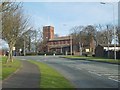
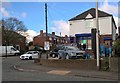
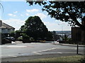
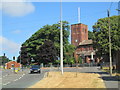
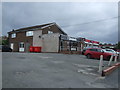
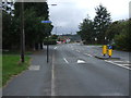
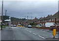
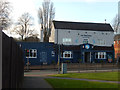
12 photos from this area
Area Information
Key information about the B65 9HA including its size, population, and administrative classification.
- Area Type
- Postcode
- Area Size
- 1.2 hectares
- Population
- Not available
- Population Density
- Not available
House Prices in B65 9HA
38
Properties
£125,265
Average Sold Price
£36,000
Lowest Price
£179,950
Highest Price
Showing 38 properties
| Address | Type | Beds | Baths | Last Sale Price | Last Sale Date | |
|---|---|---|---|---|---|---|
| 24 Newhall Road, Rowley Regis, B65 9HA | house | - | - | £100,000 | Aug 2022 | |
| 36 Newhall Road, Rowley Regis, B65 9HA | Semi-detached | 2 | - | £156,000 | Apr 2022 | |
| 14 Newhall Road, Rowley Regis, B65 9HA | Detached | 3 | 1 | £152,000 | May 2021 | |
| 18 Newhall Road, Rowley Regis, B65 9HA | house | - | - | £150,000 | Dec 2020 | |
| 1 Newhall Road, Rowley Regis, B65 9HA | house | 2 | - | £145,000 | Apr 2018 | |
| 25 Newhall Road, Rowley Regis, B65 9HA | Semi-detached | 2 | - | £80,000 | Aug 2014 | |
| 1B Newhall Road, Rowley Regis, B65 9HA | Bungalow | 2 | 2 | £170,000 | Sep 2011 | |
| 8 Newhall Road, Rowley Regis, B65 9HA | house | - | - | £108,000 | Aug 2010 | |
| 1A Newhall Road, Rowley Regis, B65 9HA | Detached | - | - | £179,950 | May 2008 | |
| 3 Newhall Road, Rowley Regis, B65 9HA | house | - | - | £143,000 | Feb 2007 |
Page 1 of 4
Energy Efficiency in B65 9HA
Amenities
Schools
| Rank | School | Type | Entry gender | Ages |
|---|
Explore more schools in this area
Go to Schools tabDemographics
Household Size
One person
most common
Accommodation Type
Houses
most common
Tenure
41
majority
Ethnic Group
White
most common
Religion
N/A
most common
Household Composition
N/A
most common
Age
47
median
Adults (30-64 years)
most common
Household Deprivation
N/A
with no deprivation
NS-SEC
15
in Lower managerial occupations
Explore more demographic insights in this area
Go to Demographics tabPlanning
Planning Constraints
- Flood RiskPremium
- Ramsar Wetland SitesPremium
- Area of Outstanding Natural BeautyPremium
- Protected Nature ReservePremium
- Protected WoodlandPremium