Area Overview for B65 9AB
Photos of B65 9AB
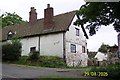
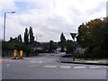
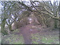
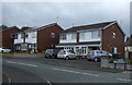
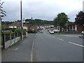
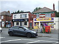
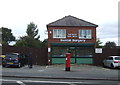
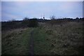
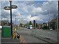
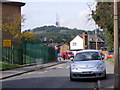

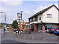
13 photos from this area
Area Information
Key information about the B65 9AB including its size, population, and administrative classification.
- Area Type
- Postcode
- Area Size
- 2.7 hectares
- Population
- 2370
- Population Density
- 8810 people/km²
House Prices in B65 9AB
79
Properties
£269,989
Average Sold Price
£179,995
Lowest Price
£975,000
Highest Price
Showing 79 properties
| Address | Type | Beds | Baths | Last Sale Price | Last Sale Date | |
|---|---|---|---|---|---|---|
| 2 Bill Thomas Way, Rowley Regis, B65 9AB | Semi-detached | 3 | 1 | £290,000 | Nov 2025 | |
| 86 Bill Thomas Way, Rowley Regis, B65 9AB | Detached | 4 | 2 | £395,000 | Aug 2025 | |
| 54 Bill Thomas Way, Rowley Regis, B65 9AB | Semi-detached | 3 | 2 | £285,000 | May 2025 | |
| 18 Bill Thomas Way, Rowley Regis, B65 9AB | Detached | 4 | - | £360,000 | Jan 2024 | |
| 60 Bill Thomas Way, Rowley Regis, B65 9AB | Semi-detached | 3 | 1 | £250,000 | Nov 2023 | |
| 14 Bill Thomas Way, Rowley Regis, B65 9AB | Retail | 4 | 1 | £366,000 | May 2022 | |
| 122 Bill Thomas Way, Rowley Regis, B65 9AB | house | 4 | 1 | £342,000 | Mar 2022 | |
| 144 Bill Thomas Way, Rowley Regis, B65 9AB | house | - | - | £315,000 | Oct 2021 | |
| 4 Bill Thomas Way, Rowley Regis, B65 9AB | Semi-detached | 3 | 2 | £235,000 | Aug 2021 | |
| 112 Bill Thomas Way, Rowley Regis, B65 9AB | house | - | - | £333,000 | May 2021 |
Page 1 of 8
Energy Efficiency in B65 9AB
Amenities
Schools
| Rank | School | Type | Entry gender | Ages |
|---|
Explore more schools in this area
Go to Schools tabDemographics
Household Size
One person
most common
Accommodation Type
Flats
most common
Tenure
37
majority
Ethnic Group
White
most common
Religion
N/A
most common
Household Composition
N/A
most common
Age
47
median
Adults (30-64 years)
most common
Household Deprivation
N/A
with no deprivation
NS-SEC
20
in Lower managerial occupations
Explore more demographic insights in this area
Go to Demographics tabPlanning
Planning Constraints
- Flood RiskPremium
- Ramsar Wetland SitesPremium
- Area of Outstanding Natural BeautyPremium
- Protected Nature ReservePremium
- Protected WoodlandPremium