Area Overview for B63 4SD
Photos of B63 4SD
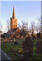
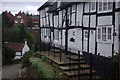
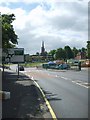
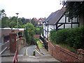
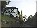
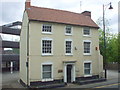

53 photos from this area
Area Information
Key information about the B63 4SD including its size, population, and administrative classification.
- Area Type
- Postcode
- Area Size
- 8513 m²
- Population
- 1865
- Population Density
- 5812 people/km²
House Prices in B63 4SD
29
Properties
£101,805
Average Sold Price
£34,000
Lowest Price
£212,000
Highest Price
Showing 29 properties
| Address | Type | Beds | Baths | Last Sale Price | Last Sale Date | |
|---|---|---|---|---|---|---|
| 62 Instone Road, Halesowen, B63 4SD | Semi-detached | 3 | 1 | £212,000 | Sep 2024 | |
| 16 Instone Road, Halesowen, B63 4SD | house | - | - | £105,000 | Dec 2016 | |
| 7 Instone Road, Halesowen, B63 4SD | house | - | - | £111,000 | May 2016 | |
| 57 Instone Road, Halesowen, B63 4SD | Semi-detached | 3 | 1 | £126,500 | Apr 2016 | |
| 4 Instone Road, Halesowen, B63 4SD | Semi-detached | 3 | 1 | £110,000 | Mar 2015 | |
| 6 Instone Road, Halesowen, B63 4SD | Semi-detached | 2 | 1 | £109,000 | Jul 2014 | |
| 56 Instone Road, Halesowen, B63 4SD | Semi-detached | 3 | 1 | £94,500 | Sep 2012 | |
| 15 Instone Road, Halesowen, B63 4SD | Semi-detached | - | - | £74,550 | Nov 2002 | |
| 17 Instone Road, Halesowen, B63 4SD | Semi-detached | 3 | - | £41,500 | Apr 1999 | |
| 61 Instone Road, Halesowen, B63 4SD | Semi-detached | - | - | £34,000 | Jun 1997 |
Page 1 of 3
Energy Efficiency in B63 4SD
Amenities
Schools
| Rank | School | Type | Entry gender | Ages |
|---|
Explore more schools in this area
Go to Schools tabDemographics
Household Size
Two person
most common
Accommodation Type
Houses
most common
Tenure
65
majority
Ethnic Group
White
most common
Religion
N/A
most common
Household Composition
N/A
most common
Age
47
median
Adults (30-64 years)
most common
Household Deprivation
N/A
with no deprivation
NS-SEC
23
in Lower managerial occupations
Explore more demographic insights in this area
Go to Demographics tabPlanning
Planning Constraints
- Flood RiskPremium
- Ramsar Wetland SitesPremium
- Area of Outstanding Natural BeautyPremium
- Protected Nature ReservePremium
- Protected WoodlandPremium