Area Overview for B63 4LD
Photos of B63 4LD
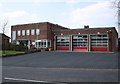
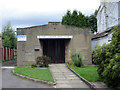
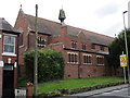
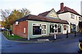
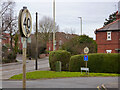
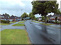
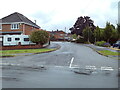
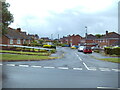
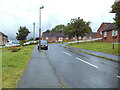
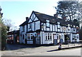
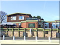
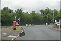
22 photos from this area
Area Information
Key information about the B63 4LD including its size, population, and administrative classification.
- Area Type
- Postcode
- Area Size
- 8237 m²
- Population
- 1803
- Population Density
- 1433 people/km²
House Prices in B63 4LD
20
Properties
£177,566
Average Sold Price
£46,000
Lowest Price
£295,000
Highest Price
Showing 20 properties
| Address | Type | Beds | Baths | Last Sale Price | Last Sale Date | |
|---|---|---|---|---|---|---|
| 18 Hazeldene Road, Halesowen, B63 4LD | Semi-detached | 3 | 1 | £289,000 | Nov 2024 | |
| 3 Hazeldene Road, Halesowen, B63 4LD | Semi-detached | 3 | 1 | £236,000 | Mar 2023 | |
| 2 Hazeldene Road, Halesowen, B63 4LD | house | - | - | £200,000 | Dec 2021 | |
| 6 Hazeldene Road, Halesowen, B63 4LD | Semi-detached | 3 | 1 | £295,000 | Aug 2021 | |
| 20 Hazeldene Road, Halesowen, B63 4LD | Semi-detached | 3 | - | £250,000 | Jul 2018 | |
| 14 Hazeldene Road, Halesowen, B63 4LD | Semi-detached | 3 | - | £164,000 | Jun 2015 | |
| 24 Hazeldene Road, Halesowen, B63 4LD | Semi-detached | 3 | 1 | £180,000 | Mar 2015 | |
| 5 Hazeldene Road, Halesowen, B63 4LD | house | - | - | £171,000 | Sep 2014 | |
| 16 Hazeldene Road, Halesowen, B63 4LD | Semi-detached | 3 | - | £168,000 | Sep 2014 | |
| 4 Hazeldene Road, Halesowen, B63 4LD | Semi-detached | 3 | 1 | £154,000 | Feb 2011 |
Page 1 of 2
Energy Efficiency in B63 4LD
Amenities
Schools
| Rank | School | Type | Entry gender | Ages |
|---|
Explore more schools in this area
Go to Schools tabDemographics
Household Size
Family (3-5 people)
most common
Accommodation Type
Houses
most common
Tenure
77
majority
Ethnic Group
White
most common
Religion
N/A
most common
Household Composition
N/A
most common
Age
47
median
Adults (30-64 years)
most common
Household Deprivation
N/A
with no deprivation
NS-SEC
36
in Lower managerial occupations
Explore more demographic insights in this area
Go to Demographics tabPlanning
Planning Constraints
- Flood RiskPremium
- Ramsar Wetland SitesPremium
- Area of Outstanding Natural BeautyPremium
- Protected Nature ReservePremium
- Protected WoodlandPremium