Area Overview for B63 4DY
Photos of B63 4DY
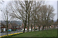
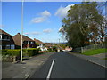
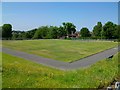
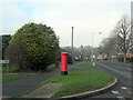
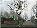
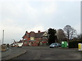
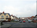
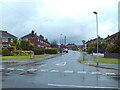
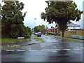
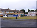
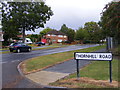
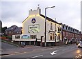
24 photos from this area
Area Information
Key information about the B63 4DY including its size, population, and administrative classification.
- Area Type
- Postcode
- Area Size
- 1.9 hectares
- Population
- 1683
- Population Density
- 5190 people/km²
House Prices in B63 4DY
38
Properties
£160,225
Average Sold Price
£58,500
Lowest Price
£266,000
Highest Price
Showing 38 properties
| Address | Type | Beds | Baths | Last Sale Price | Last Sale Date | |
|---|---|---|---|---|---|---|
| 89 Bournes Hill, Halesowen, B63 4DY | house | - | - | £240,000 | Sep 2022 | |
| 93 Bournes Hill, Halesowen, B63 4DY | house | - | - | £238,000 | Jun 2021 | |
| 54 Bournes Hill, Halesowen, B63 4DY | house | - | - | £145,150 | Feb 2021 | |
| 59 Bournes Hill, Halesowen, B63 4DY | house | - | - | £191,000 | Oct 2019 | |
| 57 Bournes Hill, Halesowen, B63 4DY | house | - | - | £165,000 | Apr 2019 | |
| 52 Bournes Hill, Halesowen, B63 4DY | Semi-detached | 4 | 2 | £266,000 | Jul 2018 | |
| 73 Bournes Hill, Halesowen, B63 4DY | house | 3 | - | £135,000 | May 2015 | |
| 44 Bournes Hill, Halesowen, B63 4DY | Semi-detached | 3 | 1 | £155,000 | Feb 2015 | |
| 32 Bournes Hill, Halesowen, B63 4DY | Semi-detached | 3 | 1 | £113,000 | Dec 2013 | |
| 65 Bournes Hill, Halesowen, B63 4DY | house | 3 | - | £105,000 | Jun 2012 |
Page 1 of 4
Energy Efficiency in B63 4DY
Amenities
Schools
| Rank | School | Type | Entry gender | Ages |
|---|
Explore more schools in this area
Go to Schools tabDemographics
Household Size
Family (3-5 people)
most common
Accommodation Type
Houses
most common
Tenure
76
majority
Ethnic Group
White
most common
Religion
N/A
most common
Household Composition
N/A
most common
Age
47
median
Adults (30-64 years)
most common
Household Deprivation
N/A
with no deprivation
NS-SEC
26
in Lower managerial occupations
Explore more demographic insights in this area
Go to Demographics tabPlanning
Planning Constraints
- Flood RiskPremium
- Ramsar Wetland SitesPremium
- Area of Outstanding Natural BeautyPremium
- Protected Nature ReservePremium
- Protected WoodlandPremium