Area Overview for B63 3DA
Photos of B63 3DA
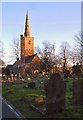
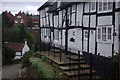
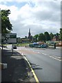
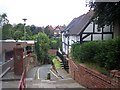
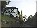
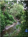
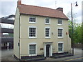
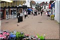
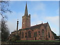
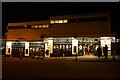
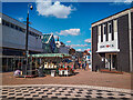
53 photos from this area
Area Information
Key information about the B63 3DA including its size, population, and administrative classification.
- Area Type
- Postcode
- Area Size
- 1.2 hectares
- Population
- 1469
- Population Density
- 5395 people/km²
House Prices in B63 3DA
29
Properties
£186,414
Average Sold Price
£105,000
Lowest Price
£295,000
Highest Price
Showing 29 properties
| Address | Type | Beds | Baths | Last Sale Price | Last Sale Date | |
|---|---|---|---|---|---|---|
| 16 Laurel Lane, Halesowen, B63 3DA | Retail | 2 | 1 | £227,500 | Oct 2022 | |
| 19 Laurel Lane, Halesowen, B63 3DA | Terraced | 2 | 1 | £132,500 | Jun 2021 | |
| 8 Laurel Lane, Halesowen, B63 3DA | Terraced | 2 | 1 | £178,000 | Mar 2021 | |
| 10 Laurel Lane, Halesowen, B63 3DA | house | - | - | £200,000 | Nov 2020 | |
| 15 Laurel Lane, Halesowen, B63 3DA | Terraced | 3 | 1 | £239,450 | Mar 2020 | |
| 22 Laurel Lane, Halesowen, B63 3DA | Terraced | 2 | 1 | £150,000 | Aug 2019 | |
| The Fairlawns, 5A Laurel Lane, Halesowen, B63 3DA | Bungalow | 2 | 1 | £235,000 | Oct 2017 | |
| 4 Laurel Lane, Halesowen, B63 3DA | Detached | 3 | 1 | £175,000 | Jun 2013 | |
| 12 Laurel Lane, Halesowen, B63 3DA | Detached | 3 | 1 | £242,500 | Jul 2012 | |
| 7 Laurel Lane, Halesowen, B63 3DA | house | - | - | £275,000 | Jun 2011 |
Page 1 of 3
Energy Efficiency in B63 3DA
Amenities
Schools
| Rank | School | Type | Entry gender | Ages |
|---|
Explore more schools in this area
Go to Schools tabDemographics
Household Size
One person
most common
Accommodation Type
Houses
most common
Tenure
79
majority
Ethnic Group
White
most common
Religion
N/A
most common
Household Composition
N/A
most common
Age
47
median
Adults (30-64 years)
most common
Household Deprivation
N/A
with no deprivation
NS-SEC
36
in Lower managerial occupations
Explore more demographic insights in this area
Go to Demographics tabPlanning
Planning Constraints
- Flood RiskPremium
- Ramsar Wetland SitesPremium
- Area of Outstanding Natural BeautyPremium
- Protected Nature ReservePremium
- Protected WoodlandPremium