Area Overview for B63 2XA
Photos of B63 2XA
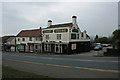
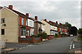
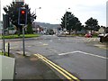
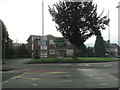
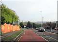
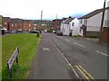
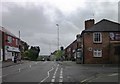
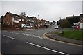
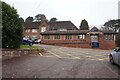
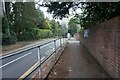
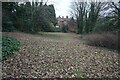
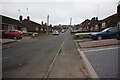
41 photos from this area
Area Information
Key information about the B63 2XA including its size, population, and administrative classification.
- Area Type
- Postcode
- Area Size
- 4523 m²
- Population
- 1495
- Population Density
- 4599 people/km²
House Prices in B63 2XA
13
Properties
£143,768
Average Sold Price
£67,500
Lowest Price
£267,000
Highest Price
Showing 13 properties
| Address | Type | Beds | Baths | Last Sale Price | Last Sale Date | |
|---|---|---|---|---|---|---|
| 14 Burfield Road, Cradley, B63 2XA | Semi-detached | 3 | 1 | £267,000 | Mar 2025 | |
| 22 Burfield Road, Cradley, B63 2XA | Detached | 2 | 1 | £190,000 | Sep 2021 | |
| 10 Burfield Road, Cradley, B63 2XA | house | - | - | £182,500 | Mar 2020 | |
| 12 Burfield Road, Cradley, B63 2XA | house | - | - | £187,500 | Jun 2019 | |
| The Heights, 16 Burfield Road, Cradley, B63 2XA | house | 3 | - | £145,000 | Feb 2017 | |
| 8 Burfield Road, Cradley, B63 2XA | Detached | - | - | £171,000 | Mar 2007 | |
| 2 Burfield Road, Cradley, B63 2XA | Semi-detached | - | - | £100,000 | Aug 2003 | |
| 20 Burfield Road, Cradley, B63 2XA | Detached | - | - | £124,995 | Mar 2003 | |
| 4 Burfield Road, Cradley, B63 2XA | house | - | - | £78,000 | Dec 2001 | |
| 8A Burfield Road, Cradley, B63 2XA | Detached | - | - | £67,500 | Feb 2001 |
Page 1 of 2
Energy Efficiency in B63 2XA
Amenities
Schools
| Rank | School | Type | Entry gender | Ages |
|---|
Explore more schools in this area
Go to Schools tabDemographics
Household Size
Two person
most common
Accommodation Type
Houses
most common
Tenure
60
majority
Ethnic Group
White
most common
Religion
N/A
most common
Household Composition
N/A
most common
Age
47
median
Adults (30-64 years)
most common
Household Deprivation
N/A
with no deprivation
NS-SEC
23
in Lower managerial occupations
Explore more demographic insights in this area
Go to Demographics tabPlanning
Planning Constraints
- Flood RiskPremium
- Ramsar Wetland SitesPremium
- Area of Outstanding Natural BeautyPremium
- Protected Nature ReservePremium
- Protected WoodlandPremium