Area Overview for B63 2BU
Photos of B63 2BU
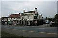
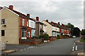
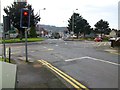
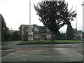
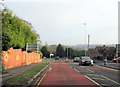
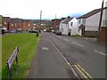
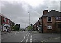
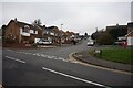
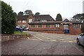
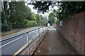
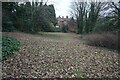
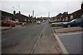
41 photos from this area
Area Information
Key information about the B63 2BU including its size, population, and administrative classification.
- Area Type
- Postcode
- Area Size
- 8160 m²
- Population
- 1640
- Population Density
- 6392 people/km²
House Prices in B63 2BU
12
Properties
£120,000
Average Sold Price
£105,000
Lowest Price
£135,000
Highest Price
Showing 12 properties
| Address | Type | Beds | Baths | Last Sale Price | Last Sale Date | |
|---|---|---|---|---|---|---|
| 120B Colley Gate, Cradley, B63 2BU | Flat | - | - | £105,000 | Apr 2020 | |
| The Old Vicarage, Colley Gate, Cradley, B63 2BU | Detached | - | - | £135,000 | Sep 1995 | |
| Flat 2, 120 Colley Gate, Cradley, B63 2BU | Flat | - | - | - | - | |
| Flat 3, 120 Colley Gate, Cradley, B63 2BU | Flat | - | - | - | - | |
| Flat Above, 124 Colley Gate, Cradley, B63 2BU | Flat | - | - | - | - | |
| Flat Above, 122 Colley Gate, Cradley, B63 2BU | Flat | - | - | - | - | |
| 118B Colley Gate, Cradley, B63 2BU | Flat | - | - | - | - | |
| Flat, Wilson Hall, Colley Gate, Cradley, B63 2BU | Flat | - | - | - | - | |
| Revolution Self Service Launderette, Self-service Launderette, 116 Colley Gate, Cradley, B63 2BU | Retail | - | - | - | - | |
| Flat Above, 116 Colley Gate, Cradley, B63 2BU | Flat | - | - | - | - |
Page 1 of 2
Energy Efficiency in B63 2BU
Amenities
Schools
| Rank | School | Type | Entry gender | Ages |
|---|
Explore more schools in this area
Go to Schools tabDemographics
Household Size
Two person
most common
Accommodation Type
Houses
most common
Tenure
66
majority
Ethnic Group
White
most common
Religion
N/A
most common
Household Composition
N/A
most common
Age
47
median
Adults (30-64 years)
most common
Household Deprivation
N/A
with no deprivation
NS-SEC
28
in Lower managerial occupations
Explore more demographic insights in this area
Go to Demographics tabPlanning
Planning Constraints
- Flood RiskPremium
- Ramsar Wetland SitesPremium
- Area of Outstanding Natural BeautyPremium
- Protected Nature ReservePremium
- Protected WoodlandPremium