Area Overview for B63 2PU
Photos of B63 2PU
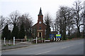
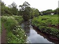
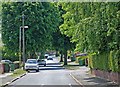
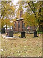
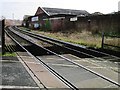
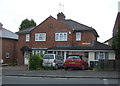
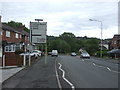
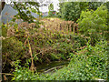
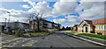
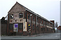
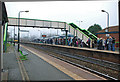
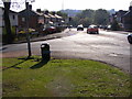
41 photos from this area
Area Information
Key information about the B63 2PU including its size, population, and administrative classification.
- Area Type
- Postcode
- Area Size
- 4892 m²
- Population
- 1531
- Population Density
- 4055 people/km²
House Prices in B63 2PU
24
Properties
£64,494
Average Sold Price
£30,000
Lowest Price
£117,000
Highest Price
Showing 24 properties
| Address | Type | Beds | Baths | Last Sale Price | Last Sale Date | |
|---|---|---|---|---|---|---|
| 38 Netherend Lane, Cradley, B63 2PU | Flat | 1 | 1 | £117,000 | Aug 2025 | |
| 2 Netherend Lane, Cradley, B63 2PU | Flat | 1 | 1 | £99,950 | Mar 2025 | |
| 48 Netherend Lane, Cradley, B63 2PU | Flat | - | - | £93,000 | Feb 2025 | |
| 44 Netherend Lane, Cradley, B63 2PU | Flat | - | - | £57,500 | Jun 2023 | |
| 40 Netherend Lane, Cradley, B63 2PU | Flat | 1 | 1 | £88,000 | Jun 2023 | |
| 30 Netherend Lane, Cradley, B63 2PU | Flat | - | - | £59,000 | Mar 2023 | |
| 10 Netherend Lane, Cradley, B63 2PU | Maisonette | - | - | £75,000 | May 2021 | |
| 6 Netherend Lane, Cradley, B63 2PU | Flat | 1 | 1 | £72,000 | Aug 2020 | |
| 18 Netherend Lane, Cradley, B63 2PU | Maisonette | - | - | £59,500 | Sep 2019 | |
| 16 Netherend Lane, Cradley, B63 2PU | Flat | - | - | £71,000 | Jun 2019 |
Page 1 of 3
Energy Efficiency in B63 2PU
Amenities
Schools
| Rank | School | Type | Entry gender | Ages |
|---|
Explore more schools in this area
Go to Schools tabDemographics
Household Size
Two person
most common
Accommodation Type
Houses
most common
Tenure
79
majority
Ethnic Group
White
most common
Religion
N/A
most common
Household Composition
N/A
most common
Age
47
median
Adults (30-64 years)
most common
Household Deprivation
N/A
with no deprivation
NS-SEC
27
in Lower managerial occupations
Explore more demographic insights in this area
Go to Demographics tabPlanning
Planning Constraints
- Flood RiskPremium
- Ramsar Wetland SitesPremium
- Area of Outstanding Natural BeautyPremium
- Protected Nature ReservePremium
- Protected WoodlandPremium