Area Overview for B63 2YD
Photos of B63 2YD
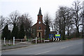
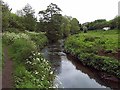
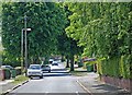
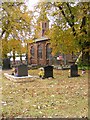
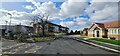
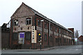
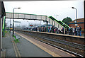
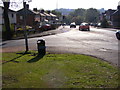
41 photos from this area
Area Information
Key information about the B63 2YD including its size, population, and administrative classification.
- Area Type
- Postcode
- Area Size
- 3.0 hectares
- Population
- 1531
- Population Density
- 4055 people/km²
House Prices in B63 2YD
55
Properties
£211,592
Average Sold Price
£84,000
Lowest Price
£450,000
Highest Price
Showing 55 properties
| Address | Type | Beds | Baths | Last Sale Price | Last Sale Date | |
|---|---|---|---|---|---|---|
| 57 Radbourne Drive, Cradley, B63 2YD | Detached | 4 | 2 | £450,000 | Apr 2025 | |
| 46 Radbourne Drive, Cradley, B63 2YD | house | 4 | 3 | £355,000 | Jan 2025 | |
| 49 Radbourne Drive, Cradley, B63 2YD | Detached | 4 | 2 | £390,000 | Jul 2023 | |
| 5 Radbourne Drive, Cradley, B63 2YD | house | - | - | £335,000 | Jun 2021 | |
| 44 Radbourne Drive, Cradley, B63 2YD | house | - | - | £336,000 | Mar 2021 | |
| 39 Radbourne Drive, Cradley, B63 2YD | house | - | - | £315,000 | Apr 2019 | |
| 53 Radbourne Drive, Cradley, B63 2YD | Detached | 4 | 2 | £325,000 | Feb 2019 | |
| 47 Radbourne Drive, Cradley, B63 2YD | Detached | 4 | 2 | £285,000 | Apr 2018 | |
| 31 Radbourne Drive, Cradley, B63 2YD | Detached | 4 | 2 | £270,000 | Nov 2017 | |
| 38 Radbourne Drive, Cradley, B63 2YD | house | - | - | £232,500 | Sep 2016 |
Page 1 of 6
Energy Efficiency in B63 2YD
Amenities
Schools
| Rank | School | Type | Entry gender | Ages |
|---|
Explore more schools in this area
Go to Schools tabDemographics
Household Size
Two person
most common
Accommodation Type
Houses
most common
Tenure
79
majority
Ethnic Group
White
most common
Religion
N/A
most common
Household Composition
N/A
most common
Age
47
median
Adults (30-64 years)
most common
Household Deprivation
N/A
with no deprivation
NS-SEC
27
in Lower managerial occupations
Explore more demographic insights in this area
Go to Demographics tabPlanning
Planning Constraints
- Flood RiskPremium
- Ramsar Wetland SitesPremium
- Area of Outstanding Natural BeautyPremium
- Protected Nature ReservePremium
- Protected WoodlandPremium