Area Overview for B62 9NJ
Photos of B62 9NJ
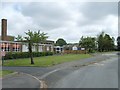
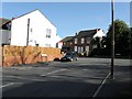
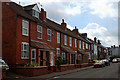
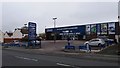
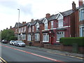
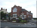
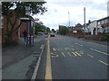
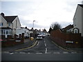
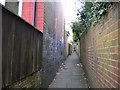
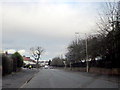
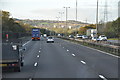
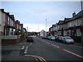
14 photos from this area
Area Information
Key information about the B62 9NJ including its size, population, and administrative classification.
- Area Type
- Postcode
- Area Size
- 1.5 hectares
- Population
- 1546
- Population Density
- 6920 people/km²
House Prices in B62 9NJ
43
Properties
£163,211
Average Sold Price
£40,000
Lowest Price
£351,000
Highest Price
Showing 43 properties
| Address | Type | Beds | Baths | Last Sale Price | Last Sale Date | |
|---|---|---|---|---|---|---|
| 20 Garland Crescent, Halesowen, B62 9NJ | Semi-detached | 3 | 1 | £325,000 | Apr 2025 | |
| 34 Garland Crescent, Halesowen, B62 9NJ | house | - | - | £91,000 | Jan 2025 | |
| 46 Garland Crescent, Halesowen, B62 9NJ | house | - | - | £351,000 | Nov 2020 | |
| 22 Garland Crescent, Halesowen, B62 9NJ | Semi-detached | 3 | 1 | £219,950 | Oct 2020 | |
| 16 Garland Crescent, Halesowen, B62 9NJ | house | 3 | 1 | £206,000 | Jun 2018 | |
| 19 Garland Crescent, Halesowen, B62 9NJ | Semi-detached | 3 | 1 | £220,000 | Oct 2015 | |
| 2 Garland Crescent, Halesowen, B62 9NJ | Semi-detached | 3 | - | £184,950 | Oct 2014 | |
| 56 Garland Crescent, Halesowen, B62 9NJ | house | - | - | £230,000 | Jun 2011 | |
| 4 Garland Crescent, Halesowen, B62 9NJ | house | - | - | £147,000 | Apr 2010 | |
| 50 Garland Crescent, Halesowen, B62 9NJ | Semi-detached | - | - | £179,000 | Jul 2007 |
Page 1 of 5
Energy Efficiency in B62 9NJ
Amenities
Schools
| Rank | School | Type | Entry gender | Ages |
|---|
Explore more schools in this area
Go to Schools tabDemographics
Household Size
One person
most common
Accommodation Type
Houses
most common
Tenure
68
majority
Ethnic Group
White
most common
Religion
N/A
most common
Household Composition
N/A
most common
Age
47
median
Adults (30-64 years)
most common
Household Deprivation
N/A
with no deprivation
NS-SEC
30
in Lower managerial occupations
Explore more demographic insights in this area
Go to Demographics tabPlanning
Planning Constraints
- Flood RiskPremium
- Ramsar Wetland SitesPremium
- Area of Outstanding Natural BeautyPremium
- Protected Nature ReservePremium
- Protected WoodlandPremium