Area Overview for B62 8NU
Photos of B62 8NU
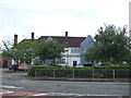
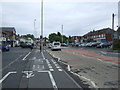
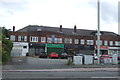
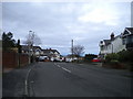
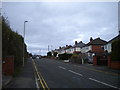
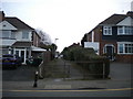
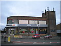
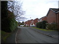
28 photos from this area
Area Information
Key information about the B62 8NU including its size, population, and administrative classification.
- Area Type
- Postcode
- Area Size
- 7676 m²
- Population
- 1761
- Population Density
- 2556 people/km²
House Prices in B62 8NU
7
Properties
£191,250
Average Sold Price
£20,000
Lowest Price
£335,000
Highest Price
Showing 7 properties
| Address | Type | Beds | Baths | Last Sale Price | Last Sale Date | |
|---|---|---|---|---|---|---|
| 2 Belle Vue Drive, Halesowen, B62 8NU | Bungalow | - | - | £335,000 | Jun 2021 | |
| 3 Belle Vue Drive, Halesowen, B62 8NU | Bungalow | - | - | £260,000 | Oct 2017 | |
| Cedarwood, Belle Vue Drive, Halesowen, B62 8NU | Detached | - | - | £20,000 | Sep 2010 | |
| Belle Vue, Belle Vue Drive, Halesowen, B62 8NU | Detached | 5 | 2 | £150,000 | Mar 1998 | |
| Tennis 120M From 5 Radcliffe Drive 32M From Unnamed Road, Hollies Drive, Halesowen, B62 8NU | Leisure | - | - | - | - | |
| Ivy Cottage, Belle Vue Drive, Halesowen, B62 8NU | Detached | - | - | - | - | |
| Greyholme, 1 Belle Vue Drive, Halesowen, B62 8NU | Detached | - | - | - | - |
Energy Efficiency in B62 8NU
Amenities
Schools
| Rank | School | Type | Entry gender | Ages |
|---|
Explore more schools in this area
Go to Schools tabDemographics
Household Size
Family (3-5 people)
most common
Accommodation Type
Houses
most common
Tenure
81
majority
Ethnic Group
White
most common
Religion
N/A
most common
Household Composition
N/A
most common
Age
47
median
Adults (30-64 years)
most common
Household Deprivation
N/A
with no deprivation
NS-SEC
36
in Lower managerial occupations
Explore more demographic insights in this area
Go to Demographics tabPlanning
Planning Constraints
- Flood RiskPremium
- Ramsar Wetland SitesPremium
- Area of Outstanding Natural BeautyPremium
- Protected Nature ReservePremium
- Protected WoodlandPremium