Area Overview for B61 8LG
Photos of B61 8LG
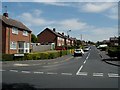
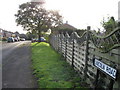
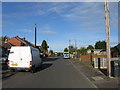
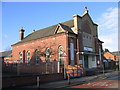
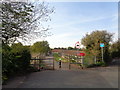
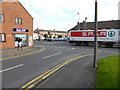
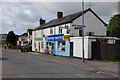
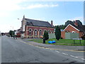
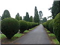
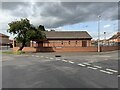
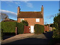
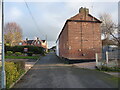
22 photos from this area
Area Information
Key information about the B61 8LG including its size, population, and administrative classification.
- Area Type
- Postcode
- Area Size
- 7446 m²
- Population
- 1697
- Population Density
- 4500 people/km²
House Prices in B61 8LG
13
Properties
£184,143
Average Sold Price
£70,000
Lowest Price
£500,000
Highest Price
Showing 13 properties
| Address | Type | Beds | Baths | Last Sale Price | Last Sale Date | |
|---|---|---|---|---|---|---|
| 45 Holly Road, Bromsgrove, B61 8LG | Detached | - | - | £500,000 | Dec 2022 | |
| Lilac Cottage, 42 Holly Road, Bromsgrove, B61 8LG | Cottage | 2 | 1 | £185,000 | Jul 2020 | |
| 46 Holly Road, Bromsgrove, B61 8LG | Detached | 2 | 1 | £188,500 | Aug 2016 | |
| 50 Holly Road, Bromsgrove, B61 8LG | Maisonette | - | - | £113,000 | Jul 2015 | |
| 36 Holly Road, Bromsgrove, B61 8LG | Detached | 4 | 2 | £158,000 | Jul 2006 | |
| 40 Holly Road, Bromsgrove, B61 8LG | Terraced | - | - | £74,500 | Feb 2000 | |
| 44 Holly Road, Bromsgrove, B61 8LG | Semi-detached | - | - | £70,000 | Mar 1998 | |
| 45 Holly Road, Bromsgrove, B61 8LG | house | 4 | 2 | - | - | |
| 48 Holly Road, Bromsgrove, B61 8LG | Detached | 2 | 1 | - | - | |
| 47 Holly Road, Bromsgrove, B61 8LG | Detached | - | - | - | - |
Page 1 of 2
Energy Efficiency in B61 8LG
Amenities
Schools
| Rank | School | Type | Entry gender | Ages |
|---|
Explore more schools in this area
Go to Schools tabDemographics
Household Size
Two person
most common
Accommodation Type
Houses
most common
Tenure
77
majority
Ethnic Group
White
most common
Religion
N/A
most common
Household Composition
N/A
most common
Age
47
median
Adults (30-64 years)
most common
Household Deprivation
N/A
with no deprivation
NS-SEC
38
in Lower managerial occupations
Explore more demographic insights in this area
Go to Demographics tabPlanning
Planning Constraints
- Flood RiskPremium
- Ramsar Wetland SitesPremium
- Area of Outstanding Natural BeautyPremium
- Protected Nature ReservePremium
- Protected WoodlandPremium