Area Overview for B61 8LE
Photos of B61 8LE
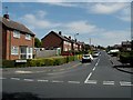
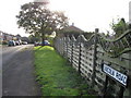
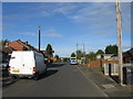
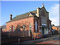
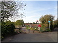
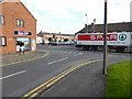
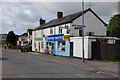
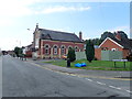
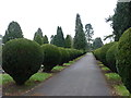
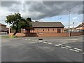
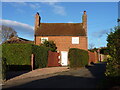
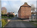
22 photos from this area
Area Information
Key information about the B61 8LE including its size, population, and administrative classification.
- Area Type
- Postcode
- Area Size
- 1.3 hectares
- Population
- 1697
- Population Density
- 4500 people/km²
House Prices in B61 8LE
16
Properties
£196,500
Average Sold Price
£62,000
Lowest Price
£415,000
Highest Price
Showing 16 properties
| Address | Type | Beds | Baths | Last Sale Price | Last Sale Date | |
|---|---|---|---|---|---|---|
| 30 The Flats, Bromsgrove, B61 8LE | Detached | 4 | 2 | £415,000 | Jul 2023 | |
| 34 The Flats, Bromsgrove, B61 8LE | Detached | 4 | 2 | £350,000 | Jul 2020 | |
| 33 The Flats, Bromsgrove, B61 8LE | Semi-detached | 3 | - | £177,000 | Dec 2013 | |
| 40 The Flats, Bromsgrove, B61 8LE | house | - | - | £225,000 | Oct 2012 | |
| 42 The Flats, Bromsgrove, B61 8LE | house | - | - | £210,000 | Aug 2012 | |
| 31 The Flats, Bromsgrove, B61 8LE | Semi-detached | 3 | - | £167,500 | Nov 2011 | |
| 36 The Flats, Bromsgrove, B61 8LE | Semi-detached | - | - | £115,000 | Feb 2000 | |
| 28 The Flats, Bromsgrove, B61 8LE | Detached | - | - | £118,500 | Sep 1997 | |
| 27 The Flats, Bromsgrove, B61 8LE | house | - | - | £125,000 | Jan 1997 | |
| 35 The Flats, Bromsgrove, B61 8LE | Semi-detached | - | - | £62,000 | Sep 1996 |
Page 1 of 2
Energy Efficiency in B61 8LE
Amenities
Schools
| Rank | School | Type | Entry gender | Ages |
|---|
Explore more schools in this area
Go to Schools tabDemographics
Household Size
Two person
most common
Accommodation Type
Houses
most common
Tenure
77
majority
Ethnic Group
White
most common
Religion
N/A
most common
Household Composition
N/A
most common
Age
47
median
Adults (30-64 years)
most common
Household Deprivation
N/A
with no deprivation
NS-SEC
38
in Lower managerial occupations
Explore more demographic insights in this area
Go to Demographics tabPlanning
Planning Constraints
- Flood RiskPremium
- Ramsar Wetland SitesPremium
- Area of Outstanding Natural BeautyPremium
- Protected Nature ReservePremium
- Protected WoodlandPremium