Area Overview for B61 7NJ
Photos of B61 7NJ
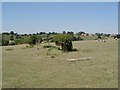
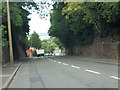
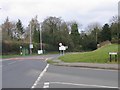
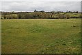
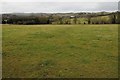
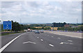
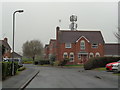
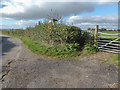


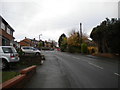
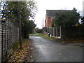
36 photos from this area
Area Information
Key information about the B61 7NJ including its size, population, and administrative classification.
- Area Type
- Postcode
- Area Size
- 9449 m²
- Population
- 1648
- Population Density
- 2877 people/km²
House Prices in B61 7NJ
27
Properties
£195,318
Average Sold Price
£42,000
Lowest Price
£447,500
Highest Price
Showing 27 properties
| Address | Type | Beds | Baths | Last Sale Price | Last Sale Date | |
|---|---|---|---|---|---|---|
| 55 Fox Lane, Bromsgrove, B61 7NJ | Terraced | 3 | 1 | £220,000 | Aug 2025 | |
| 51 Fox Lane, Bromsgrove, B61 7NJ | Terraced | 3 | 1 | £230,000 | Apr 2025 | |
| 31 Fox Lane, Bromsgrove, B61 7NJ | Semi-detached | 3 | 1 | £265,000 | Feb 2024 | |
| 35 Fox Lane, Bromsgrove, B61 7NJ | Semi-detached | 3 | 1 | £260,000 | Sep 2021 | |
| 37 Fox Lane, Bromsgrove, B61 7NJ | house | - | - | £447,500 | Aug 2021 | |
| 47 Fox Lane, Bromsgrove, B61 7NJ | house | 3 | - | £155,000 | Aug 2019 | |
| 33 Fox Lane, Bromsgrove, B61 7NJ | Semi-detached | 3 | - | £185,000 | Aug 2015 | |
| 63 Fox Lane, Bromsgrove, B61 7NJ | Terraced | - | - | £142,500 | Jun 2007 | |
| 19 Fox Lane, Bromsgrove, B61 7NJ | Semi-detached | - | - | £134,000 | Jul 2005 | |
| 17 Fox Lane, Bromsgrove, B61 7NJ | Semi-detached | - | - | £42,000 | Jul 1997 |
Page 1 of 3
Energy Efficiency in B61 7NJ
Amenities
Schools
| Rank | School | Type | Entry gender | Ages |
|---|
Explore more schools in this area
Go to Schools tabDemographics
Household Size
Family (3-5 people)
most common
Accommodation Type
Houses
most common
Tenure
67
majority
Ethnic Group
White
most common
Religion
N/A
most common
Household Composition
N/A
most common
Age
47
median
Adults (30-64 years)
most common
Household Deprivation
N/A
with no deprivation
NS-SEC
35
in Lower managerial occupations
Explore more demographic insights in this area
Go to Demographics tabPlanning
Planning Constraints
- Flood RiskPremium
- Ramsar Wetland SitesPremium
- Area of Outstanding Natural BeautyPremium
- Protected Nature ReservePremium
- Protected WoodlandPremium