Area Overview for B61 7NH
Photos of B61 7NH
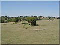
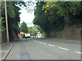
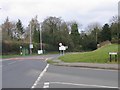
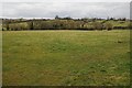
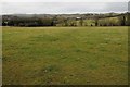

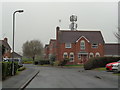
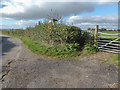


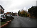
36 photos from this area
Area Information
Key information about the B61 7NH including its size, population, and administrative classification.
- Area Type
- Postcode
- Area Size
- 7705 m²
- Population
- 1648
- Population Density
- 2877 people/km²
House Prices in B61 7NH
17
Properties
£142,034
Average Sold Price
£38,000
Lowest Price
£273,500
Highest Price
Showing 17 properties
| Address | Type | Beds | Baths | Last Sale Price | Last Sale Date | |
|---|---|---|---|---|---|---|
| 16 Quarry Lane, Bromsgrove, B61 7NH | Semi-detached | 4 | 1 | £273,500 | Mar 2021 | |
| 4 Quarry Lane, Bromsgrove, B61 7NH | Semi-detached | 2 | 1 | £180,000 | Sep 2019 | |
| 12 Quarry Lane, Bromsgrove, B61 7NH | Semi-detached | 2 | 1 | £180,010 | Jun 2017 | |
| 6 Quarry Lane, Bromsgrove, B61 7NH | Semi-detached | 2 | - | £160,000 | Jul 2015 | |
| 30 Quarry Lane, Bromsgrove, B61 7NH | Semi-detached | 3 | 1 | £166,000 | Aug 2011 | |
| 2 Quarry Lane, Bromsgrove, B61 7NH | Semi-detached | 3 | - | £179,950 | Jul 2007 | |
| 22 Quarry Lane, Bromsgrove, B61 7NH | Detached | 2 | 1 | £142,000 | Feb 2007 | |
| 20 Quarry Lane, Bromsgrove, B61 7NH | Semi-detached | - | - | £100,000 | Aug 2005 | |
| 24 Quarry Lane, Bromsgrove, B61 7NH | Semi-detached | - | - | £144,950 | May 2005 | |
| 34 Quarry Lane, Bromsgrove, B61 7NH | Semi-detached | - | - | £102,000 | Nov 2001 |
Page 1 of 2
Energy Efficiency in B61 7NH
Amenities
Schools
| Rank | School | Type | Entry gender | Ages |
|---|
Explore more schools in this area
Go to Schools tabDemographics
Household Size
Family (3-5 people)
most common
Accommodation Type
Houses
most common
Tenure
67
majority
Ethnic Group
White
most common
Religion
N/A
most common
Household Composition
N/A
most common
Age
47
median
Adults (30-64 years)
most common
Household Deprivation
N/A
with no deprivation
NS-SEC
35
in Lower managerial occupations
Explore more demographic insights in this area
Go to Demographics tabPlanning
Planning Constraints
- Flood RiskPremium
- Ramsar Wetland SitesPremium
- Area of Outstanding Natural BeautyPremium
- Protected Nature ReservePremium
- Protected WoodlandPremium