Area Overview for B61 0EB
Photos of B61 0EB
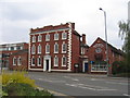
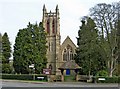
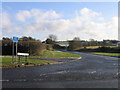

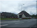
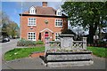
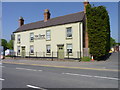
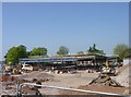
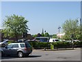
76 photos from this area
Area Information
Key information about the B61 0EB including its size, population, and administrative classification.
- Area Type
- Postcode
- Area Size
- 2033 m²
- Population
- 2254
- Population Density
- 1811 people/km²
House Prices in B61 0EB
9
Properties
£226,333
Average Sold Price
£144,000
Lowest Price
£350,000
Highest Price
Showing 9 properties
| Address | Type | Beds | Baths | Last Sale Price | Last Sale Date | |
|---|---|---|---|---|---|---|
| First Floor Flat, 203 Birmingham Road, Bromsgrove, B61 0EB | Flat | - | - | £185,000 | May 2023 | |
| 197 Birmingham Road, Bromsgrove, B61 0EB | Detached | 3 | 1 | £350,000 | Jan 2018 | |
| 205 Birmingham Road, Bromsgrove, B61 0EB | house | - | - | £144,000 | Dec 2012 | |
| Flat Above, 203 Birmingham Road, Bromsgrove, B61 0EB | Flat | - | - | - | - | |
| Ear Wax Clinic, Ear Wax Removal Clinic, 209 Birmingham Road, Bromsgrove, B61 0EB | commercial | - | - | - | - | |
| 199 Birmingham Road, Bromsgrove, B61 0EB | Detached | - | - | - | - | |
| 201 Birmingham Road, Bromsgrove, B61 0EB | Terraced | - | - | - | - | |
| 207 Birmingham Road, Bromsgrove, B61 0EB | Semi-detached | - | - | - | - | |
| 209 Birmingham Road, Bromsgrove, B61 0EB | Semi-detached | - | - | - | - |
Energy Efficiency in B61 0EB
Amenities
Schools
| Rank | School | Type | Entry gender | Ages |
|---|
Explore more schools in this area
Go to Schools tabDemographics
Household Size
Family (3-5 people)
most common
Accommodation Type
Houses
most common
Tenure
72
majority
Ethnic Group
White
most common
Religion
N/A
most common
Household Composition
N/A
most common
Age
47
median
Adults (30-64 years)
most common
Household Deprivation
N/A
with no deprivation
NS-SEC
43
in Lower managerial occupations
Explore more demographic insights in this area
Go to Demographics tabPlanning
Planning Constraints
- Flood RiskPremium
- Ramsar Wetland SitesPremium
- Area of Outstanding Natural BeautyPremium
- Protected Nature ReservePremium
- Protected WoodlandPremium