Area Overview for B61 0DY
Photos of B61 0DY
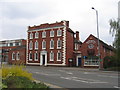
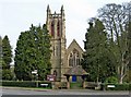
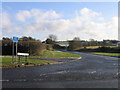

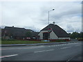
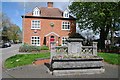
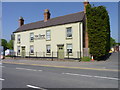
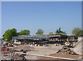
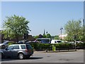
76 photos from this area
Area Information
Key information about the B61 0DY including its size, population, and administrative classification.
- Area Type
- Postcode
- Area Size
- 4151 m²
- Population
- 2254
- Population Density
- 1811 people/km²
House Prices in B61 0DY
10
Properties
£146,046
Average Sold Price
£42,750
Lowest Price
£290,000
Highest Price
Showing 10 properties
| Address | Type | Beds | Baths | Last Sale Price | Last Sale Date | |
|---|---|---|---|---|---|---|
| 177 Birmingham Road, Bromsgrove, B61 0DY | Semi-detached | 3 | 1 | £290,000 | Nov 2024 | |
| 187 Birmingham Road, Bromsgrove, B61 0DY | house | - | - | £172,000 | Dec 2012 | |
| 191 Birmingham Road, Bromsgrove, B61 0DY | house | 3 | - | £177,500 | Feb 2008 | |
| 189 Birmingham Road, Bromsgrove, B61 0DY | Detached | 3 | 2 | £205,000 | Feb 2005 | |
| 193 Birmingham Road, Bromsgrove, B61 0DY | Terraced | - | - | £81,500 | Mar 2002 | |
| 195A Birmingham Road, Bromsgrove, B61 0DY | Detached | 2 | 1 | £53,575 | Aug 2000 | |
| 195 Birmingham Road, Bromsgrove, B61 0DY | Semi-detached | 2 | 1 | £42,750 | Nov 1996 | |
| 173 Birmingham Road, Bromsgrove, B61 0DY | Semi-detached | 3 | 1 | - | - | |
| 171 Birmingham Road, Bromsgrove, B61 0DY | Terraced | - | - | - | - | |
| 175 Birmingham Road, Bromsgrove, B61 0DY | Detached | 3 | 1 | - | - |
Energy Efficiency in B61 0DY
Amenities
Schools
| Rank | School | Type | Entry gender | Ages |
|---|
Explore more schools in this area
Go to Schools tabDemographics
Household Size
Family (3-5 people)
most common
Accommodation Type
Houses
most common
Tenure
72
majority
Ethnic Group
White
most common
Religion
N/A
most common
Household Composition
N/A
most common
Age
47
median
Adults (30-64 years)
most common
Household Deprivation
N/A
with no deprivation
NS-SEC
43
in Lower managerial occupations
Explore more demographic insights in this area
Go to Demographics tabPlanning
Planning Constraints
- Flood RiskPremium
- Ramsar Wetland SitesPremium
- Area of Outstanding Natural BeautyPremium
- Protected Nature ReservePremium
- Protected WoodlandPremium