Area Overview for B60 3LQ
Photos of B60 3LQ
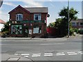
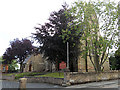
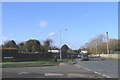
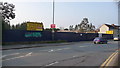
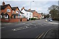
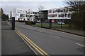
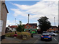
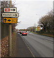
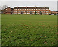
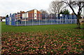
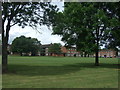
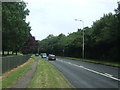
39 photos from this area
Area Information
Key information about the B60 3LQ including its size, population, and administrative classification.
- Area Type
- Postcode
- Area Size
- 1.2 hectares
- Population
- 2011
- Population Density
- 5091 people/km²
House Prices in B60 3LQ
26
Properties
£153,600
Average Sold Price
£43,000
Lowest Price
£255,000
Highest Price
Showing 26 properties
| Address | Type | Beds | Baths | Last Sale Price | Last Sale Date | |
|---|---|---|---|---|---|---|
| 103 Lyttleton Avenue, Bromsgrove, B60 3LQ | Terraced | 3 | 1 | £180,000 | Dec 2024 | |
| 91 Lyttleton Avenue, Bromsgrove, B60 3LQ | house | - | - | £255,000 | Aug 2024 | |
| 99 Lyttleton Avenue, Bromsgrove, B60 3LQ | house | - | - | £242,000 | Jun 2023 | |
| 95 Lyttleton Avenue, Bromsgrove, B60 3LQ | house | - | - | £217,900 | Mar 2022 | |
| 101 Lyttleton Avenue, Bromsgrove, B60 3LQ | house | - | - | £215,000 | Sep 2021 | |
| 89 Lyttleton Avenue, Bromsgrove, B60 3LQ | house | - | - | £180,000 | Jul 2021 | |
| 105 Lyttleton Avenue, Bromsgrove, B60 3LQ | Terraced | 3 | 1 | £205,000 | Mar 2021 | |
| 81 Lyttleton Avenue, Bromsgrove, B60 3LQ | Semi-detached | 3 | 1 | £177,500 | Nov 2020 | |
| 131 Lyttleton Avenue, Bromsgrove, B60 3LQ | Terraced | 3 | 1 | £195,500 | Nov 2019 | |
| 123 Lyttleton Avenue, Bromsgrove, B60 3LQ | Semi-detached | - | - | £165,000 | Jun 2018 |
Page 1 of 3
Energy Efficiency in B60 3LQ
Amenities
Schools
| Rank | School | Type | Entry gender | Ages |
|---|
Explore more schools in this area
Go to Schools tabDemographics
Household Size
One person
most common
Accommodation Type
Houses
most common
Tenure
51
majority
Ethnic Group
White
most common
Religion
N/A
most common
Household Composition
N/A
most common
Age
47
median
Adults (30-64 years)
most common
Household Deprivation
N/A
with no deprivation
NS-SEC
22
in Lower managerial occupations
Explore more demographic insights in this area
Go to Demographics tabPlanning
Planning Constraints
- Flood RiskPremium
- Ramsar Wetland SitesPremium
- Area of Outstanding Natural BeautyPremium
- Protected Nature ReservePremium
- Protected WoodlandPremium