Area Overview for B60 2SQ
Photos of B60 2SQ
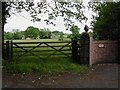
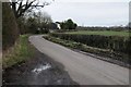
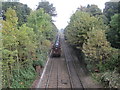
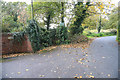
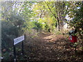
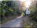
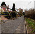
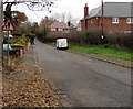
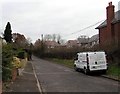
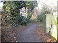
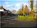
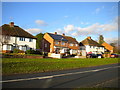
30 photos from this area
Area Information
Key information about the B60 2SQ including its size, population, and administrative classification.
- Area Type
- Postcode
- Area Size
- 9665 m²
- Population
- 1904
- Population Density
- 3722 people/km²
House Prices in B60 2SQ
15
Properties
£287,790
Average Sold Price
£151,600
Lowest Price
£621,000
Highest Price
Showing 15 properties
| Address | Type | Beds | Baths | Last Sale Price | Last Sale Date | |
|---|---|---|---|---|---|---|
| 8 Firenze Road, Bromsgrove, B60 2SQ | Detached | 4 | 2 | £475,000 | Nov 2025 | |
| 9 Firenze Road, Bromsgrove, B60 2SQ | Terraced | 3 | 2 | £300,000 | Jan 2024 | |
| 2 Firenze Road, Bromsgrove, B60 2SQ | Detached | 5 | 3 | £621,000 | Mar 2022 | |
| 14 Firenze Road, Bromsgrove, B60 2SQ | house | - | - | £485,000 | Nov 2021 | |
| 5 Firenze Road, Bromsgrove, B60 2SQ | Semi-detached | 3 | 2 | £260,000 | Oct 2018 | |
| 4 Firenze Road, Bromsgrove, B60 2SQ | Detached | 4 | - | £347,500 | Aug 2017 | |
| 15 Firenze Road, Bromsgrove, B60 2SQ | house | - | - | £240,000 | Jul 2009 | |
| 1 Firenze Road, Bromsgrove, B60 2SQ | house | - | - | £266,000 | Dec 2005 | |
| 11 Firenze Road, Bromsgrove, B60 2SQ | Terraced | - | - | £180,000 | Sep 2005 | |
| 11A Firenze Road, Bromsgrove, B60 2SQ | Terraced | - | - | £198,000 | Sep 2004 |
Page 1 of 2
Energy Efficiency in B60 2SQ
Amenities
Schools
| Rank | School | Type | Entry gender | Ages |
|---|
Explore more schools in this area
Go to Schools tabDemographics
Household Size
Family (3-5 people)
most common
Accommodation Type
Houses
most common
Tenure
88
majority
Ethnic Group
White
most common
Religion
N/A
most common
Household Composition
N/A
most common
Age
47
median
Adults (30-64 years)
most common
Household Deprivation
N/A
with no deprivation
NS-SEC
45
in Lower managerial occupations
Explore more demographic insights in this area
Go to Demographics tabPlanning
Planning Constraints
- Flood RiskPremium
- Ramsar Wetland SitesPremium
- Area of Outstanding Natural BeautyPremium
- Protected Nature ReservePremium
- Protected WoodlandPremium