Area Overview for B60 2SN
Photos of B60 2SN
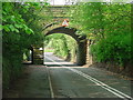
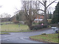
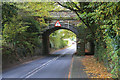
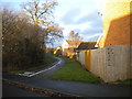
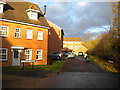
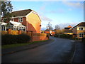
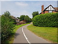
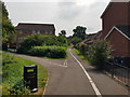
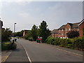
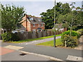
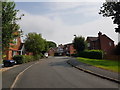
33 photos from this area
Area Information
Key information about the B60 2SN including its size, population, and administrative classification.
- Area Type
- Postcode
- Area Size
- 1.1 hectares
- Population
- 1904
- Population Density
- 3722 people/km²
House Prices in B60 2SN
21
Properties
£300,671
Average Sold Price
£132,750
Lowest Price
£512,000
Highest Price
Showing 21 properties
| Address | Type | Beds | Baths | Last Sale Price | Last Sale Date | |
|---|---|---|---|---|---|---|
| 34 Penshurst Road, Bromsgrove, B60 2SN | Detached | 5 | 3 | £500,000 | Jul 2024 | |
| 22 Penshurst Road, Bromsgrove, B60 2SN | Detached | 6 | 2 | £512,000 | Aug 2021 | |
| 10 Penshurst Road, Bromsgrove, B60 2SN | Detached | 5 | - | £440,000 | Jan 2020 | |
| 6 Penshurst Road, Bromsgrove, B60 2SN | Detached | 4 | 2 | £415,000 | Dec 2018 | |
| 28 Penshurst Road, Bromsgrove, B60 2SN | Detached | 4 | 1 | £350,000 | Jul 2017 | |
| 24 Penshurst Road, Bromsgrove, B60 2SN | Detached | 5 | 3 | £320,000 | Jul 2015 | |
| 16 Penshurst Road, Bromsgrove, B60 2SN | Detached | 4 | - | £250,000 | Oct 2014 | |
| 44 Penshurst Road, Bromsgrove, B60 2SN | house | 5 | - | £292,500 | May 2012 | |
| 32 Penshurst Road, Bromsgrove, B60 2SN | house | - | - | £299,950 | Aug 2011 | |
| 18 Penshurst Road, Bromsgrove, B60 2SN | house | - | - | £250,000 | Mar 2011 |
Page 1 of 3
Energy Efficiency in B60 2SN
Amenities
Schools
| Rank | School | Type | Entry gender | Ages |
|---|
Explore more schools in this area
Go to Schools tabDemographics
Household Size
Family (3-5 people)
most common
Accommodation Type
Houses
most common
Tenure
88
majority
Ethnic Group
White
most common
Religion
N/A
most common
Household Composition
N/A
most common
Age
47
median
Adults (30-64 years)
most common
Household Deprivation
N/A
with no deprivation
NS-SEC
45
in Lower managerial occupations
Explore more demographic insights in this area
Go to Demographics tabPlanning
Planning Constraints
- Flood RiskPremium
- Ramsar Wetland SitesPremium
- Area of Outstanding Natural BeautyPremium
- Protected Nature ReservePremium
- Protected WoodlandPremium