Area Overview for B50 4QN
Photos of B50 4QN
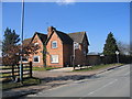
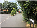
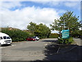
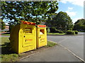
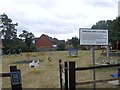
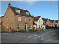
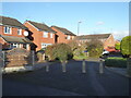
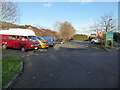
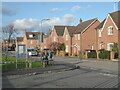
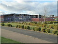
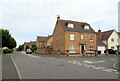
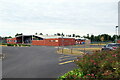
28 photos from this area
Area Information
Key information about the B50 4QN including its size, population, and administrative classification.
- Area Type
- Postcode
- Area Size
- 2.2 hectares
- Population
- 2424
- Population Density
- 262 people/km²
House Prices in B50 4QN
42
Properties
£300,032
Average Sold Price
£92,000
Lowest Price
£630,798
Highest Price
Showing 42 properties
| Address | Type | Beds | Baths | Last Sale Price | Last Sale Date | |
|---|---|---|---|---|---|---|
| 43 Russet Way, Bidford On Avon, B50 4QN | Terraced | 2 | 1 | £103,500 | Sep 2023 | |
| 42 Russet Way, Bidford On Avon, B50 4QN | Terraced | 2 | 1 | £92,000 | Mar 2023 | |
| 32 Russet Way, Bidford On Avon, B50 4QN | Detached | 3 | 2 | £306,000 | Nov 2022 | |
| 28 Russet Way, Bidford On Avon, B50 4QN | Detached | 4 | 2 | £470,000 | Oct 2022 | |
| 23 Russet Way, Bidford On Avon, B50 4QN | house | - | - | £395,000 | Jun 2021 | |
| 5 Russet Way, Bidford On Avon, B50 4QN | Detached | 4 | 2 | £385,000 | Apr 2021 | |
| 21 Russet Way, Bidford On Avon, B50 4QN | Detached | 4 | 3 | £335,000 | Jul 2020 | |
| 22 Russet Way, Bidford On Avon, B50 4QN | Detached | 4 | 2 | £363,000 | Mar 2020 | |
| 26 Russet Way, Bidford On Avon, B50 4QN | Detached | 4 | 2 | £345,000 | Mar 2020 | |
| 33 Russet Way, Bidford On Avon, B50 4QN | Semi-detached | 3 | - | £227,500 | May 2018 |
Page 1 of 5
Energy Efficiency in B50 4QN
Amenities
Schools
| Rank | School | Type | Entry gender | Ages |
|---|
Explore more schools in this area
Go to Schools tabDemographics
Household Size
Two person
most common
Accommodation Type
Houses
most common
Tenure
76
majority
Ethnic Group
White
most common
Religion
N/A
most common
Household Composition
N/A
most common
Age
47
median
Adults (30-64 years)
most common
Household Deprivation
N/A
with no deprivation
NS-SEC
39
in Lower managerial occupations
Explore more demographic insights in this area
Go to Demographics tabPlanning
Planning Constraints
- Flood RiskPremium
- Ramsar Wetland SitesPremium
- Area of Outstanding Natural BeautyPremium
- Protected Nature ReservePremium
- Protected WoodlandPremium