Area Overview for B46 1SB
Photos of B46 1SB
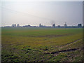
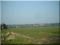
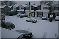
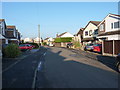
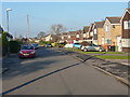
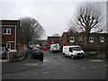

19 photos from this area
Area Information
Key information about the B46 1SB including its size, population, and administrative classification.
- Area Type
- Postcode
- Area Size
- 24.4 hectares
- Population
- 1717
- Population Density
- 380 people/km²
House Prices in B46 1SB
19
Properties
£255,967
Average Sold Price
£90,000
Lowest Price
£415,000
Highest Price
Showing 19 properties
| Address | Type | Beds | Baths | Last Sale Price | Last Sale Date | |
|---|---|---|---|---|---|---|
| 49 Attleboro Lane, Water Orton, B46 1SB | house | - | - | £415,000 | Apr 2021 | |
| 45 Attleboro Lane, Water Orton, B46 1SB | Bungalow | - | - | £230,000 | Apr 2020 | |
| 57 Attleboro Lane, Water Orton, B46 1SB | Bungalow | - | - | £407,500 | Nov 2017 | |
| 17 Attleboro Lane, Water Orton, B46 1SB | Detached | 5 | 3 | £350,000 | Sep 2016 | |
| 11 Attleboro Lane, Water Orton, B46 1SB | Detached | 3 | 1 | £270,000 | Aug 2016 | |
| 55 Attleboro Lane, Water Orton, B46 1SB | house | - | - | £245,000 | May 2012 | |
| 15 Attleboro Lane, Water Orton, B46 1SB | Detached | 4 | - | £395,000 | Aug 2007 | |
| Two Doves, 9A Attleboro Lane, Water Orton, B46 1SB | Detached | 4 | - | £150,000 | Apr 2007 | |
| 19 Attleboro Lane, Water Orton, B46 1SB | house | - | - | £90,000 | Mar 2007 | |
| 53 Attleboro Lane, Water Orton, B46 1SB | Detached | - | - | £311,000 | Jul 2006 |
Page 1 of 2
Energy Efficiency in B46 1SB
Amenities
Schools
| Rank | School | Type | Entry gender | Ages |
|---|
Explore more schools in this area
Go to Schools tabDemographics
Household Size
Family (3-5 people)
most common
Accommodation Type
Houses
most common
Tenure
79
majority
Ethnic Group
White
most common
Religion
N/A
most common
Household Composition
N/A
most common
Age
47
median
Adults (30-64 years)
most common
Household Deprivation
N/A
with no deprivation
NS-SEC
34
in Lower managerial occupations
Explore more demographic insights in this area
Go to Demographics tabPlanning
Planning Constraints
- Flood RiskPremium
- Ramsar Wetland SitesPremium
- Area of Outstanding Natural BeautyPremium
- Protected Nature ReservePremium
- Protected WoodlandPremium