Area Overview for B45 9FF
Photos of B45 9FF

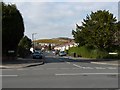
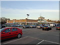
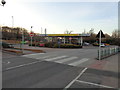
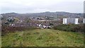
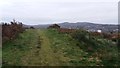
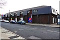
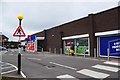
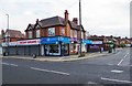
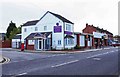
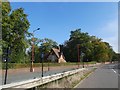

75 photos from this area
Area Information
Key information about the B45 9FF including its size, population, and administrative classification.
- Area Type
- Postcode
- Area Size
- 2.7 hectares
- Population
- 2282
- Population Density
- 2835 people/km²
House Prices in B45 9FF
25
Properties
£214,558
Average Sold Price
£94,250
Lowest Price
£405,000
Highest Price
Showing 25 properties
| Address | Type | Beds | Baths | Last Sale Price | Last Sale Date | |
|---|---|---|---|---|---|---|
| 23 The Pines, Birmingham, B45 9FF | Detached | 4 | 2 | £400,000 | Mar 2025 | |
| 51 The Pines, Birmingham, B45 9FF | Detached | 4 | 2 | £385,000 | Dec 2023 | |
| 29 The Pines, Birmingham, B45 9FF | Detached | 4 | 3 | £380,000 | Apr 2023 | |
| 73 The Pines, Birmingham, B45 9FF | Detached | 3 | 2 | £337,500 | Feb 2023 | |
| 21 The Pines, Birmingham, B45 9FF | Detached | 4 | 2 | £405,000 | Jul 2022 | |
| 5 The Pines, Birmingham, B45 9FF | Detached | 4 | 2 | £290,000 | Jan 2020 | |
| 61 The Pines, Birmingham, B45 9FF | Detached | 3 | - | £275,000 | Mar 2019 | |
| 55 The Pines, Birmingham, B45 9FF | Detached | 3 | 2 | £265,000 | Nov 2017 | |
| 75 The Pines, Birmingham, B45 9FF | Detached | 4 | - | £275,000 | Mar 2016 | |
| 33 The Pines, Birmingham, B45 9FF | Detached | 4 | 2 | £225,000 | Dec 2015 |
Page 1 of 3
Energy Efficiency in B45 9FF
Amenities
Schools
| Rank | School | Type | Entry gender | Ages |
|---|
Explore more schools in this area
Go to Schools tabDemographics
Household Size
Family (3-5 people)
most common
Accommodation Type
Houses
most common
Tenure
74
majority
Ethnic Group
White
most common
Religion
N/A
most common
Household Composition
N/A
most common
Age
47
median
Adults (30-64 years)
most common
Household Deprivation
N/A
with no deprivation
NS-SEC
36
in Lower managerial occupations
Explore more demographic insights in this area
Go to Demographics tabPlanning
Planning Constraints
- Flood RiskPremium
- Ramsar Wetland SitesPremium
- Area of Outstanding Natural BeautyPremium
- Protected Nature ReservePremium
- Protected WoodlandPremium