Area Overview for B45 9FD
Photos of B45 9FD
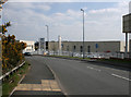
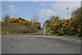
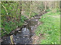
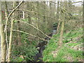
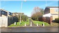
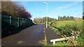
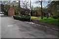
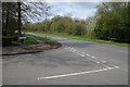
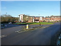
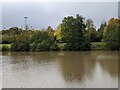
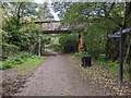
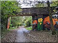
20 photos from this area
Area Information
Key information about the B45 9FD including its size, population, and administrative classification.
- Area Type
- Postcode
- Area Size
- 7153 m²
- Population
- 2282
- Population Density
- 2835 people/km²
House Prices in B45 9FD
18
Properties
£191,103
Average Sold Price
£87,950
Lowest Price
£352,000
Highest Price
Showing 18 properties
| Address | Type | Beds | Baths | Last Sale Price | Last Sale Date | |
|---|---|---|---|---|---|---|
| 34 The Pines, Birmingham, B45 9FD | Detached | 3 | 2 | £352,000 | Apr 2023 | |
| 24 The Pines, Birmingham, B45 9FD | Detached | 3 | 2 | £269,000 | Feb 2018 | |
| 8 The Pines, Birmingham, B45 9FD | Detached | 4 | 1 | £287,000 | Nov 2016 | |
| 20 The Pines, Birmingham, B45 9FD | Detached | 4 | 2 | £318,000 | Sep 2016 | |
| 32 The Pines, Birmingham, B45 9FD | Detached | 3 | 2 | £220,000 | Sep 2014 | |
| 36 The Pines, Birmingham, B45 9FD | Detached | 3 | - | £184,250 | Oct 2013 | |
| 30 The Pines, Birmingham, B45 9FD | Detached | 3 | 1 | £175,950 | Feb 2013 | |
| 10 The Pines, Birmingham, B45 9FD | house | - | - | £180,000 | Dec 2008 | |
| 28 The Pines, Birmingham, B45 9FD | house | 4 | - | £207,500 | Apr 2004 | |
| 6 The Pines, Birmingham, B45 9FD | Detached | - | - | £144,450 | May 2002 |
Page 1 of 2
Energy Efficiency in B45 9FD
Amenities
Schools
| Rank | School | Type | Entry gender | Ages |
|---|
Explore more schools in this area
Go to Schools tabDemographics
Household Size
Family (3-5 people)
most common
Accommodation Type
Houses
most common
Tenure
74
majority
Ethnic Group
White
most common
Religion
N/A
most common
Household Composition
N/A
most common
Age
47
median
Adults (30-64 years)
most common
Household Deprivation
N/A
with no deprivation
NS-SEC
36
in Lower managerial occupations
Explore more demographic insights in this area
Go to Demographics tabPlanning
Planning Constraints
- Flood RiskPremium
- Ramsar Wetland SitesPremium
- Area of Outstanding Natural BeautyPremium
- Protected Nature ReservePremium
- Protected WoodlandPremium