Area Overview for B45 0JQ
Photos of B45 0JQ
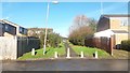
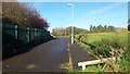
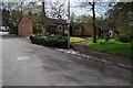
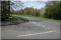
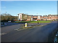
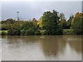
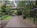
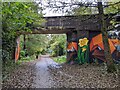
20 photos from this area
Area Information
Key information about the B45 0JQ including its size, population, and administrative classification.
- Area Type
- Postcode
- Area Size
- 1.4 hectares
- Population
- 1221
- Population Density
- 5384 people/km²
House Prices in B45 0JQ
48
Properties
£128,371
Average Sold Price
£43,000
Lowest Price
£187,000
Highest Price
Showing 48 properties
| Address | Type | Beds | Baths | Last Sale Price | Last Sale Date | |
|---|---|---|---|---|---|---|
| 8 Crychan Close, Birmingham, B45 0JQ | Terraced | 3 | 1 | £185,000 | Dec 2024 | |
| 60 Crychan Close, Birmingham, B45 0JQ | Terraced | 2 | 1 | £177,500 | Jan 2024 | |
| 102 Crychan Close, Birmingham, B45 0JQ | Terraced | 3 | 1 | £170,000 | Apr 2023 | |
| 10 Crychan Close, Birmingham, B45 0JQ | Terraced | 3 | - | £187,000 | Sep 2022 | |
| 88 Crychan Close, Birmingham, B45 0JQ | Retail | 3 | - | £164,000 | Apr 2022 | |
| 62 Crychan Close, Birmingham, B45 0JQ | house | 2 | - | £100,000 | Feb 2016 | |
| 6 Crychan Close, Birmingham, B45 0JQ | Semi-detached | 3 | - | £100,000 | Sep 2010 | |
| 78 Crychan Close, Birmingham, B45 0JQ | house | - | - | £107,000 | Oct 2007 | |
| 64 Crychan Close, Birmingham, B45 0JQ | house | - | - | £108,000 | Aug 2007 | |
| 56 Crychan Close, Birmingham, B45 0JQ | Terraced | - | - | £109,950 | Nov 2006 |
Page 1 of 5
Energy Efficiency in B45 0JQ
Amenities
Schools
| Rank | School | Type | Entry gender | Ages |
|---|
Explore more schools in this area
Go to Schools tabDemographics
Household Size
One person
most common
Accommodation Type
Houses
most common
Tenure
46
majority
Ethnic Group
White
most common
Religion
N/A
most common
Household Composition
N/A
most common
Age
47
median
Adults (30-64 years)
most common
Household Deprivation
N/A
with no deprivation
NS-SEC
17
in Lower managerial occupations
Explore more demographic insights in this area
Go to Demographics tabPlanning
Planning Constraints
- Flood RiskPremium
- Ramsar Wetland SitesPremium
- Area of Outstanding Natural BeautyPremium
- Protected Nature ReservePremium
- Protected WoodlandPremium