Area Overview for B45 0PB
Photos of B45 0PB
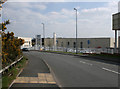
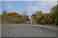
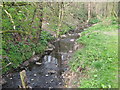
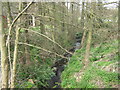
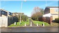
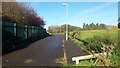
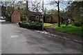
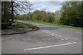
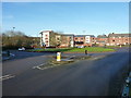
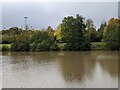
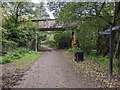
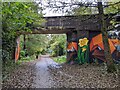
20 photos from this area
Area Information
Key information about the B45 0PB including its size, population, and administrative classification.
- Area Type
- Postcode
- Area Size
- 1.4 hectares
- Population
- 1864
- Population Density
- 8310 people/km²
House Prices in B45 0PB
46
Properties
£88,750
Average Sold Price
£30,000
Lowest Price
£190,000
Highest Price
Showing 46 properties
| Address | Type | Beds | Baths | Last Sale Price | Last Sale Date | |
|---|---|---|---|---|---|---|
| 103 Coriander Close, Birmingham, B45 0PB | Semi-detached | 3 | 1 | £190,000 | May 2024 | |
| 119 Coriander Close, Birmingham, B45 0PB | Terraced | 3 | 1 | £125,000 | Nov 2019 | |
| 115 Coriander Close, Birmingham, B45 0PB | Terraced | 3 | 1 | £68,750 | Nov 2019 | |
| 125 Coriander Close, Birmingham, B45 0PB | Terraced | 2 | - | £123,000 | Jan 2019 | |
| 123 Coriander Close, Birmingham, B45 0PB | Terraced | - | - | £57,500 | Mar 2018 | |
| 101 Coriander Close, Birmingham, B45 0PB | Terraced | 3 | 1 | £70,000 | Aug 2017 | |
| 109 Coriander Close, Birmingham, B45 0PB | Terraced | 3 | 1 | £137,500 | May 2017 | |
| 127 Coriander Close, Birmingham, B45 0PB | Semi-detached | 3 | 1 | £70,000 | Nov 2016 | |
| 107 Coriander Close, Birmingham, B45 0PB | house | - | - | £65,000 | Jan 2006 | |
| 121 Coriander Close, Birmingham, B45 0PB | Terraced | - | - | £94,000 | Dec 2003 |
Page 1 of 5
Energy Efficiency in B45 0PB
Amenities
Schools
| Rank | School | Type | Entry gender | Ages |
|---|
Explore more schools in this area
Go to Schools tabDemographics
Household Size
Family (3-5 people)
most common
Accommodation Type
Houses
most common
Tenure
56
majority
Ethnic Group
White
most common
Religion
N/A
most common
Household Composition
N/A
most common
Age
22
median
Adults (30-64 years)
most common
Household Deprivation
N/A
with no deprivation
NS-SEC
34
in Lower managerial occupations
Explore more demographic insights in this area
Go to Demographics tabPlanning
Planning Constraints
- Flood RiskPremium
- Ramsar Wetland SitesPremium
- Area of Outstanding Natural BeautyPremium
- Protected Nature ReservePremium
- Protected WoodlandPremium