Area Overview for B45 0HN
Photos of B45 0HN
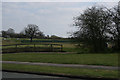
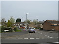
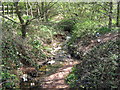
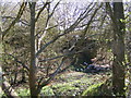
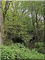
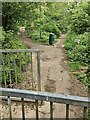
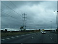
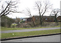
21 photos from this area
Area Information
Key information about the B45 0HN including its size, population, and administrative classification.
- Area Type
- Postcode
- Area Size
- 7771 m²
- Population
- 1443
- Population Density
- 5454 people/km²
House Prices in B45 0HN
29
Properties
£132,071
Average Sold Price
£87,500
Lowest Price
£181,500
Highest Price
Showing 29 properties
| Address | Type | Beds | Baths | Last Sale Price | Last Sale Date | |
|---|---|---|---|---|---|---|
| 29 Shapinsay Drive, Birmingham, B45 0HN | Terraced | 3 | 1 | £175,000 | Feb 2024 | |
| 15 Shapinsay Drive, Birmingham, B45 0HN | Terraced | 2 | 1 | £157,000 | Mar 2023 | |
| 9 Shapinsay Drive, Birmingham, B45 0HN | Terraced | 4 | 1 | £181,500 | May 2022 | |
| 19 Shapinsay Drive, Birmingham, B45 0HN | Terraced | 2 | 1 | £134,000 | Jul 2018 | |
| 21 Shapinsay Drive, Birmingham, B45 0HN | Terraced | 2 | 1 | £92,500 | Oct 2017 | |
| 16 Shapinsay Drive, Birmingham, B45 0HN | house | - | - | £97,000 | Feb 2007 | |
| 18 Shapinsay Drive, Birmingham, B45 0HN | house | - | - | £87,500 | Nov 2003 | |
| 17 Shapinsay Drive, Birmingham, B45 0HN | Terraced | 2 | 1 | - | - | |
| 24 Shapinsay Drive, Birmingham, B45 0HN | house | - | - | - | - | |
| 30 Shapinsay Drive, Birmingham, B45 0HN | Terraced | - | - | - | - |
Page 1 of 3
Energy Efficiency in B45 0HN
Amenities
Schools
| Rank | School | Type | Entry gender | Ages |
|---|
Explore more schools in this area
Go to Schools tabDemographics
Household Size
One person
most common
Accommodation Type
Houses
most common
Tenure
52
majority
Ethnic Group
White
most common
Religion
N/A
most common
Household Composition
N/A
most common
Age
47
median
Adults (30-64 years)
most common
Household Deprivation
N/A
with no deprivation
NS-SEC
20
in Lower managerial occupations
Explore more demographic insights in this area
Go to Demographics tabPlanning
Planning Constraints
- Flood RiskPremium
- Ramsar Wetland SitesPremium
- Area of Outstanding Natural BeautyPremium
- Protected Nature ReservePremium
- Protected WoodlandPremium