Area Overview for B45 0EL
Photos of B45 0EL
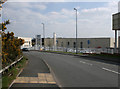
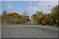
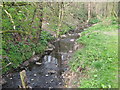
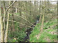
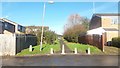
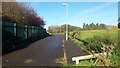
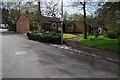
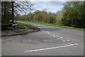
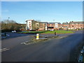
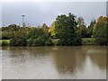
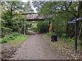
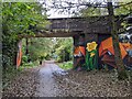
20 photos from this area
Area Information
Key information about the B45 0EL including its size, population, and administrative classification.
- Area Type
- Postcode
- Area Size
- 9827 m²
- Population
- 1448
- Population Density
- 8190 people/km²
House Prices in B45 0EL
38
Properties
£112,536
Average Sold Price
£35,000
Lowest Price
£185,000
Highest Price
Showing 38 properties
| Address | Type | Beds | Baths | Last Sale Price | Last Sale Date | |
|---|---|---|---|---|---|---|
| 12 Lysander Road, Birmingham, B45 0EL | Terraced | 2 | 1 | £162,000 | Feb 2023 | |
| 54 Lysander Road, Birmingham, B45 0EL | Terraced | 3 | - | £178,000 | Dec 2022 | |
| 84 Lysander Road, Birmingham, B45 0EL | house | - | - | £185,000 | Jul 2022 | |
| 82 Lysander Road, Birmingham, B45 0EL | Detached | 2 | 1 | £144,000 | Nov 2021 | |
| 48 Lysander Road, Birmingham, B45 0EL | Terraced | 2 | 1 | £126,000 | May 2019 | |
| 80 Lysander Road, Birmingham, B45 0EL | Terraced | 2 | - | £117,500 | Dec 2018 | |
| 60 Lysander Road, Birmingham, B45 0EL | house | - | - | £125,000 | Mar 2016 | |
| 70 Lysander Road, Birmingham, B45 0EL | Terraced | 2 | - | £115,000 | Mar 2016 | |
| 6 Lysander Road, Birmingham, B45 0EL | Terraced | 3 | - | £105,000 | Jul 2013 | |
| 14 Lysander Road, Birmingham, B45 0EL | house | 2 | - | £97,000 | May 2011 |
Page 1 of 4
Energy Efficiency in B45 0EL
Amenities
Schools
| Rank | School | Type | Entry gender | Ages |
|---|
Explore more schools in this area
Go to Schools tabDemographics
Household Size
One person
most common
Accommodation Type
Houses
most common
Tenure
41
majority
Ethnic Group
White
most common
Religion
N/A
most common
Household Composition
N/A
most common
Age
47
median
Adults (30-64 years)
most common
Household Deprivation
N/A
with no deprivation
NS-SEC
16
in Lower managerial occupations
Explore more demographic insights in this area
Go to Demographics tabPlanning
Planning Constraints
- Flood RiskPremium
- Ramsar Wetland SitesPremium
- Area of Outstanding Natural BeautyPremium
- Protected Nature ReservePremium
- Protected WoodlandPremium