Area Overview for B45 0DD
Photos of B45 0DD
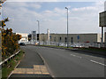
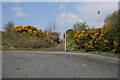
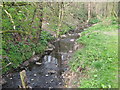
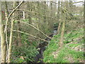
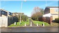
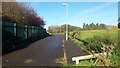
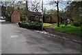
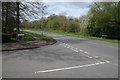
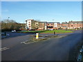
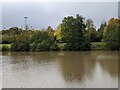
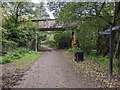
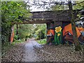
20 photos from this area
Area Information
Key information about the B45 0DD including its size, population, and administrative classification.
- Area Type
- Postcode
- Area Size
- 1.4 hectares
- Population
- 1448
- Population Density
- 8190 people/km²
House Prices in B45 0DD
48
Properties
£115,460
Average Sold Price
£37,500
Lowest Price
£210,000
Highest Price
Showing 48 properties
| Address | Type | Beds | Baths | Last Sale Price | Last Sale Date | |
|---|---|---|---|---|---|---|
| 79 Savernake Close, Birmingham, B45 0DD | Terraced | 3 | 1 | £171,000 | Jul 2024 | |
| 37 Savernake Close, Birmingham, B45 0DD | Terraced | 3 | 1 | £205,000 | Oct 2023 | |
| 69 Savernake Close, Birmingham, B45 0DD | Retail | 4 | 1 | £210,000 | Sep 2022 | |
| 17 Savernake Close, Birmingham, B45 0DD | Flat | - | - | £102,000 | Jul 2022 | |
| 9 Savernake Close, Birmingham, B45 0DD | house | - | - | £139,950 | Jan 2020 | |
| 33 Savernake Close, Birmingham, B45 0DD | Semi-detached | 4 | 1 | £155,000 | Oct 2018 | |
| 26 Savernake Close, Birmingham, B45 0DD | Semi-detached | 2 | 1 | £122,500 | Jun 2017 | |
| 32 Savernake Close, Birmingham, B45 0DD | house | - | - | £105,000 | Dec 2015 | |
| 25 Savernake Close, Birmingham, B45 0DD | house | 3 | - | £94,000 | Aug 2012 | |
| 21 Savernake Close, Birmingham, B45 0DD | Terraced | 3 | - | £100,000 | Jul 2009 |
Page 1 of 5
Energy Efficiency in B45 0DD
Amenities
Schools
| Rank | School | Type | Entry gender | Ages |
|---|
Explore more schools in this area
Go to Schools tabDemographics
Household Size
One person
most common
Accommodation Type
Houses
most common
Tenure
41
majority
Ethnic Group
White
most common
Religion
N/A
most common
Household Composition
N/A
most common
Age
47
median
Adults (30-64 years)
most common
Household Deprivation
N/A
with no deprivation
NS-SEC
16
in Lower managerial occupations
Explore more demographic insights in this area
Go to Demographics tabPlanning
Planning Constraints
- Flood RiskPremium
- Ramsar Wetland SitesPremium
- Area of Outstanding Natural BeautyPremium
- Protected Nature ReservePremium
- Protected WoodlandPremium