Area Overview for B44 0AH
Photos of B44 0AH
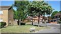
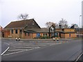
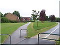
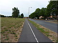
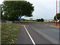
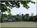

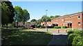
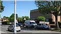
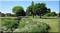
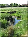
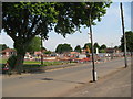
31 photos from this area
Area Information
Key information about the B44 0AH including its size, population, and administrative classification.
- Area Type
- Postcode
- Area Size
- 6352 m²
- Population
- 1547
- Population Density
- 6101 people/km²
House Prices in B44 0AH
18
Properties
£85,396
Average Sold Price
£32,500
Lowest Price
£135,000
Highest Price
Showing 18 properties
| Address | Type | Beds | Baths | Last Sale Price | Last Sale Date | |
|---|---|---|---|---|---|---|
| 277 Warren Farm Road, Birmingham, B44 0AH | Flat | - | - | £115,000 | Jun 2024 | |
| 275 Warren Farm Road, Birmingham, B44 0AH | Flat | 2 | 1 | £105,000 | Jul 2022 | |
| 291 Warren Farm Road, Birmingham, B44 0AH | Flat | - | - | £75,000 | Dec 2016 | |
| 269 Warren Farm Road, Birmingham, B44 0AH | Terraced | 3 | - | £113,000 | Jul 2016 | |
| 289 Warren Farm Road, Birmingham, B44 0AH | Flat | - | - | £74,000 | Dec 2015 | |
| 263 Warren Farm Road, Birmingham, B44 0AH | house | 4 | - | £135,000 | Dec 2014 | |
| 265 Warren Farm Road, Birmingham, B44 0AH | house | 3 | - | £87,000 | Mar 2013 | |
| 295 Warren Farm Road, Birmingham, B44 0AH | Flat | - | - | £48,000 | Dec 2012 | |
| 293 Warren Farm Road, Birmingham, B44 0AH | Flat | - | - | £58,500 | Dec 2011 | |
| 287 Warren Farm Road, Birmingham, B44 0AH | Flat | - | - | £76,500 | Jul 2006 |
Page 1 of 2
Energy Efficiency in B44 0AH
Amenities
Schools
| Rank | School | Type | Entry gender | Ages |
|---|
Explore more schools in this area
Go to Schools tabDemographics
Household Size
Family (3-5 people)
most common
Accommodation Type
Houses
most common
Tenure
51
majority
Ethnic Group
White
most common
Religion
N/A
most common
Household Composition
N/A
most common
Age
47
median
Adults (30-64 years)
most common
Household Deprivation
N/A
with no deprivation
NS-SEC
16
in Lower managerial occupations
Explore more demographic insights in this area
Go to Demographics tabPlanning
Planning Constraints
- Flood RiskPremium
- Ramsar Wetland SitesPremium
- Area of Outstanding Natural BeautyPremium
- Protected Nature ReservePremium
- Protected WoodlandPremium