Area Overview for B44 0AD
Photos of B44 0AD
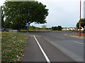
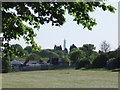

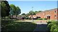
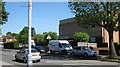
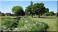
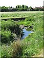
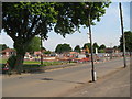
31 photos from this area
Area Information
Key information about the B44 0AD including its size, population, and administrative classification.
- Area Type
- Postcode
- Area Size
- 1.4 hectares
- Population
- 1547
- Population Density
- 6101 people/km²
House Prices in B44 0AD
22
Properties
£105,714
Average Sold Price
£37,000
Lowest Price
£186,500
Highest Price
Showing 22 properties
| Address | Type | Beds | Baths | Last Sale Price | Last Sale Date | |
|---|---|---|---|---|---|---|
| 308 Warren Farm Road, Birmingham, B44 0AD | Semi-detached | 3 | 1 | £145,000 | Sep 2019 | |
| 302 Warren Farm Road, Birmingham, B44 0AD | house | - | - | £130,000 | Aug 2019 | |
| 282 Warren Farm Road, Birmingham, B44 0AD | Terraced | 3 | - | £112,000 | Jun 2017 | |
| 312 Warren Farm Road, Birmingham, B44 0AD | Semi-detached | 5 | - | £186,500 | Aug 2016 | |
| 304 Warren Farm Road, Birmingham, B44 0AD | Terraced | 3 | 1 | £87,500 | Jun 2011 | |
| 306 Warren Farm Road, Birmingham, B44 0AD | Semi-detached | - | - | £37,000 | Oct 2001 | |
| 288 Warren Farm Road, Birmingham, B44 0AD | Semi-detached | - | - | £42,000 | Apr 1998 | |
| 310 Warren Farm Road, Birmingham, B44 0AD | Semi-detached | 3 | 1 | - | - | |
| 296-298 Warren Farm Road, Birmingham, B44 0AD | Retirement | - | - | - | - | |
| 292 Warren Farm Road, Birmingham, B44 0AD | Semi-detached | - | - | - | - |
Page 1 of 3
Energy Efficiency in B44 0AD
Amenities
Schools
| Rank | School | Type | Entry gender | Ages |
|---|
Explore more schools in this area
Go to Schools tabDemographics
Household Size
Family (3-5 people)
most common
Accommodation Type
Houses
most common
Tenure
51
majority
Ethnic Group
White
most common
Religion
N/A
most common
Household Composition
N/A
most common
Age
47
median
Adults (30-64 years)
most common
Household Deprivation
N/A
with no deprivation
NS-SEC
16
in Lower managerial occupations
Explore more demographic insights in this area
Go to Demographics tabPlanning
Planning Constraints
- Flood RiskPremium
- Ramsar Wetland SitesPremium
- Area of Outstanding Natural BeautyPremium
- Protected Nature ReservePremium
- Protected WoodlandPremium