Area Overview for B42 2NL
Photos of B42 2NL
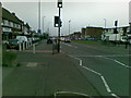
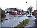
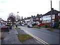
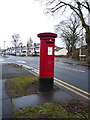
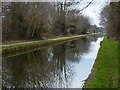
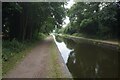

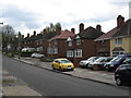
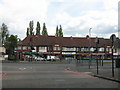
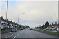
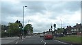
17 photos from this area
Area Information
Key information about the B42 2NL including its size, population, and administrative classification.
- Area Type
- Postcode
- Area Size
- 4975 m²
- Population
- 1557
- Population Density
- 6379 people/km²
House Prices in B42 2NL
12
Properties
£121,600
Average Sold Price
£45,000
Lowest Price
£185,000
Highest Price
Showing 12 properties
| Address | Type | Beds | Baths | Last Sale Price | Last Sale Date | |
|---|---|---|---|---|---|---|
| 50 Booths Farm Road, Birmingham, B42 2NL | Semi-detached | 3 | 1 | £185,000 | May 2019 | |
| 38 Booths Farm Road, Birmingham, B42 2NL | Semi-detached | 3 | 1 | £130,000 | Nov 2017 | |
| 40 Booths Farm Road, Birmingham, B42 2NL | house | - | - | £138,000 | Feb 2017 | |
| 58 Booths Farm Road, Birmingham, B42 2NL | house | - | - | £162,000 | Jun 2014 | |
| 48 Booths Farm Road, Birmingham, B42 2NL | house | 3 | - | £137,500 | Jun 2011 | |
| 54 Booths Farm Road, Birmingham, B42 2NL | house | - | - | £120,000 | Oct 2009 | |
| 44 Booths Farm Road, Birmingham, B42 2NL | Semi-detached | - | - | £119,000 | Oct 2004 | |
| 56 Booths Farm Road, Birmingham, B42 2NL | house | - | - | £124,000 | Mar 2004 | |
| 42 Booths Farm Road, Birmingham, B42 2NL | Semi-detached | - | - | £55,500 | Apr 1998 | |
| 52 Booths Farm Road, Birmingham, B42 2NL | Semi-detached | - | - | £45,000 | Oct 1997 |
Page 1 of 2
Energy Efficiency in B42 2NL
Amenities
Schools
| Rank | School | Type | Entry gender | Ages |
|---|
Explore more schools in this area
Go to Schools tabDemographics
Household Size
Family (3-5 people)
most common
Accommodation Type
Houses
most common
Tenure
79
majority
Ethnic Group
White
most common
Religion
N/A
most common
Household Composition
N/A
most common
Age
47
median
Adults (30-64 years)
most common
Household Deprivation
N/A
with no deprivation
NS-SEC
29
in Lower managerial occupations
Explore more demographic insights in this area
Go to Demographics tabPlanning
Planning Constraints
- Flood RiskPremium
- Ramsar Wetland SitesPremium
- Area of Outstanding Natural BeautyPremium
- Protected Nature ReservePremium
- Protected WoodlandPremium