Area Overview for B38 9LZ
Photos of B38 9LZ
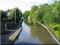
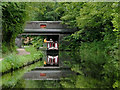
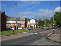
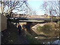
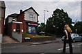
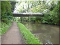
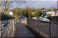
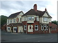
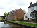
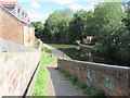
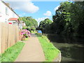
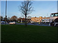
48 photos from this area
Area Information
Key information about the B38 9LZ including its size, population, and administrative classification.
- Area Type
- Postcode
- Area Size
- 5480 m²
- Population
- 1763
- Population Density
- 4757 people/km²
House Prices in B38 9LZ
21
Properties
£173,350
Average Sold Price
£52,500
Lowest Price
£290,000
Highest Price
Showing 21 properties
| Address | Type | Beds | Baths | Last Sale Price | Last Sale Date | |
|---|---|---|---|---|---|---|
| 24 Monksway, Birmingham, B38 9LZ | house | - | - | £112,750 | Oct 2024 | |
| 42 Monksway, Birmingham, B38 9LZ | Semi-detached | 3 | 1 | £290,000 | Apr 2024 | |
| 28 Monksway, Birmingham, B38 9LZ | house | - | - | £110,000 | Mar 2021 | |
| 30 Monksway, Birmingham, B38 9LZ | Semi-detached | 2 | 1 | £170,000 | Nov 2019 | |
| 38 Monksway, Birmingham, B38 9LZ | Semi-detached | 3 | 2 | £200,000 | Sep 2019 | |
| 2 Monksway, Birmingham, B38 9LZ | Semi-detached | 3 | 2 | £229,950 | Jan 2019 | |
| 36 Monksway, Birmingham, B38 9LZ | house | - | - | £195,000 | Feb 2015 | |
| 44 Monksway, Birmingham, B38 9LZ | house | - | - | £199,950 | Oct 2014 | |
| 32 Monksway, Birmingham, B38 9LZ | house | - | - | £52,500 | Nov 2008 | |
| 40 Monksway, Birmingham, B38 9LZ | Semi-detached | 3 | 3 | - | - |
Page 1 of 3
Energy Efficiency in B38 9LZ
Amenities
Schools
| Rank | School | Type | Entry gender | Ages |
|---|
Explore more schools in this area
Go to Schools tabDemographics
Household Size
One person
most common
Accommodation Type
Houses
most common
Tenure
65
majority
Ethnic Group
White
most common
Religion
N/A
most common
Household Composition
N/A
most common
Age
47
median
Adults (30-64 years)
most common
Household Deprivation
N/A
with no deprivation
NS-SEC
32
in Lower managerial occupations
Explore more demographic insights in this area
Go to Demographics tabPlanning
Planning Constraints
- Flood RiskPremium
- Ramsar Wetland SitesPremium
- Area of Outstanding Natural BeautyPremium
- Protected Nature ReservePremium
- Protected WoodlandPremium