Area Overview for B38 9BG
Photos of B38 9BG
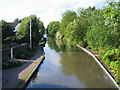
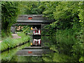
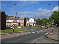
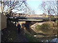
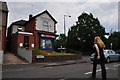
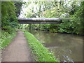
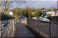
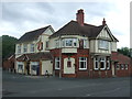
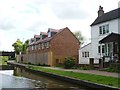
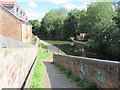
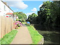
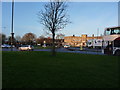
48 photos from this area
Area Information
Key information about the B38 9BG including its size, population, and administrative classification.
- Area Type
- Postcode
- Area Size
- 1.6 hectares
- Population
- 1675
- Population Density
- 4760 people/km²
House Prices in B38 9BG
46
Properties
£112,994
Average Sold Price
£43,445
Lowest Price
£182,000
Highest Price
Showing 46 properties
| Address | Type | Beds | Baths | Last Sale Price | Last Sale Date | |
|---|---|---|---|---|---|---|
| 32 Sisefield Road, Birmingham, B38 9BG | house | - | - | £140,000 | Dec 2021 | |
| 18 Sisefield Road, Birmingham, B38 9BG | Terraced | 3 | 1 | £116,000 | Jul 2019 | |
| 58 Sisefield Road, Birmingham, B38 9BG | Semi-detached | 3 | 1 | £182,000 | Dec 2018 | |
| 20 Sisefield Road, Birmingham, B38 9BG | Terraced | 3 | 1 | £100,000 | Feb 2017 | |
| 38 Sisefield Road, Birmingham, B38 9BG | house | - | - | £122,000 | Oct 2009 | |
| 10 Sisefield Road, Birmingham, B38 9BG | Terraced | 3 | 2 | £108,000 | May 2007 | |
| 36 Sisefield Road, Birmingham, B38 9BG | Terraced | 3 | 1 | £91,000 | Feb 2007 | |
| 12 Sisefield Road, Birmingham, B38 9BG | house | - | - | £114,500 | Nov 2004 | |
| 22 Sisefield Road, Birmingham, B38 9BG | house | - | - | £43,445 | Apr 2003 | |
| 54 Sisefield Road, Birmingham, B38 9BG | Semi-detached | 2 | 1 | - | - |
Page 1 of 5
Energy Efficiency in B38 9BG
Amenities
Schools
| Rank | School | Type | Entry gender | Ages |
|---|
Explore more schools in this area
Go to Schools tabDemographics
Household Size
Family (3-5 people)
most common
Accommodation Type
Houses
most common
Tenure
32
majority
Ethnic Group
White
most common
Religion
N/A
most common
Household Composition
N/A
most common
Age
47
median
Adults (30-64 years)
most common
Household Deprivation
N/A
with no deprivation
NS-SEC
19
in Lower managerial occupations
Explore more demographic insights in this area
Go to Demographics tabPlanning
Planning Constraints
- Flood RiskPremium
- Ramsar Wetland SitesPremium
- Area of Outstanding Natural BeautyPremium
- Protected Nature ReservePremium
- Protected WoodlandPremium