Area Overview for B38 9AE
Photos of B38 9AE
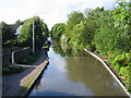
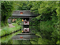
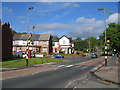
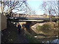
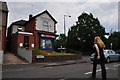
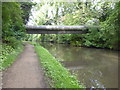
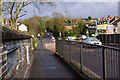
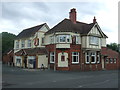
48 photos from this area
Area Information
Key information about the B38 9AE including its size, population, and administrative classification.
- Area Type
- Postcode
- Area Size
- 1.2 hectares
- Population
- 1432
- Population Density
- 1434 people/km²
House Prices in B38 9AE
23
Properties
£138,210
Average Sold Price
£46,500
Lowest Price
£242,700
Highest Price
Showing 23 properties
| Address | Type | Beds | Baths | Last Sale Price | Last Sale Date | |
|---|---|---|---|---|---|---|
| 25 Pinewall Avenue, Birmingham, B38 9AE | house | 3 | 1 | £242,700 | Sep 2025 | |
| 51 Pinewall Avenue, Birmingham, B38 9AE | house | - | - | £185,000 | Jul 2024 | |
| 5 Pinewall Avenue, Birmingham, B38 9AE | Semi-detached | 3 | 1 | £195,000 | Mar 2023 | |
| 19 Pinewall Avenue, Birmingham, B38 9AE | house | - | - | £184,750 | Jul 2022 | |
| 17 Pinewall Avenue, Birmingham, B38 9AE | Semi-detached | 3 | 1 | £202,750 | Dec 2021 | |
| 1 Pinewall Avenue, Birmingham, B38 9AE | Semi-detached | 3 | 1 | £180,000 | Jan 2018 | |
| 45 Pinewall Avenue, Birmingham, B38 9AE | Semi-detached | 3 | 1 | £170,000 | Sep 2017 | |
| 3 Pinewall Avenue, Birmingham, B38 9AE | Semi-detached | 3 | 1 | £125,500 | Apr 2015 | |
| 23 Pinewall Avenue, Birmingham, B38 9AE | Semi-detached | 3 | - | £115,000 | Oct 2012 | |
| 31 Pinewall Avenue, Birmingham, B38 9AE | Semi-detached | - | - | £127,000 | Jan 2007 |
Page 1 of 3
Energy Efficiency in B38 9AE
Amenities
Schools
| Rank | School | Type | Entry gender | Ages |
|---|
Explore more schools in this area
Go to Schools tabDemographics
Household Size
One person
most common
Accommodation Type
Houses
most common
Tenure
69
majority
Ethnic Group
White
most common
Religion
N/A
most common
Household Composition
N/A
most common
Age
47
median
Adults (30-64 years)
most common
Household Deprivation
N/A
with no deprivation
NS-SEC
38
in Lower managerial occupations
Explore more demographic insights in this area
Go to Demographics tabPlanning
Planning Constraints
- Flood RiskPremium
- Ramsar Wetland SitesPremium
- Area of Outstanding Natural BeautyPremium
- Protected Nature ReservePremium
- Protected WoodlandPremium