Area Overview for B38 8EU
Photos of B38 8EU
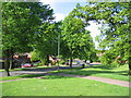
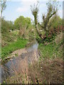
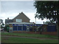
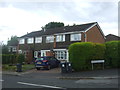
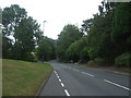
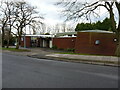
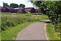
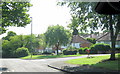
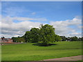
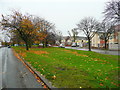
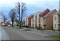
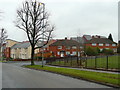
14 photos from this area
Area Information
Key information about the B38 8EU including its size, population, and administrative classification.
- Area Type
- Postcode
- Area Size
- 9941 m²
- Population
- 1558
- Population Density
- 6036 people/km²
House Prices in B38 8EU
26
Properties
£105,945
Average Sold Price
£20,000
Lowest Price
£222,000
Highest Price
Showing 26 properties
| Address | Type | Beds | Baths | Last Sale Price | Last Sale Date | |
|---|---|---|---|---|---|---|
| 19 Nesfield Close, Birmingham, B38 8EU | house | 3 | 1 | £222,000 | Feb 2025 | |
| 14 Nesfield Close, Birmingham, B38 8EU | Terraced | 3 | 1 | £135,000 | Oct 2019 | |
| 23 Nesfield Close, Birmingham, B38 8EU | Terraced | 3 | 1 | £158,000 | Aug 2019 | |
| 24 Nesfield Close, Birmingham, B38 8EU | Terraced | 3 | - | £140,000 | Sep 2017 | |
| 20 Nesfield Close, Birmingham, B38 8EU | Terraced | 3 | 1 | £93,000 | Mar 2012 | |
| 9 Nesfield Close, Birmingham, B38 8EU | Flat | 1 | 1 | £55,000 | Jan 2011 | |
| 7 Nesfield Close, Birmingham, B38 8EU | Flat | - | - | £79,500 | Oct 2007 | |
| 18 Nesfield Close, Birmingham, B38 8EU | Terraced | - | - | £114,950 | Jul 2007 | |
| 12 Nesfield Close, Birmingham, B38 8EU | Terraced | - | - | £20,000 | Jul 1996 | |
| 16 Nesfield Close, Birmingham, B38 8EU | Terraced | 3 | - | £42,000 | Oct 1995 |
Page 1 of 3
Energy Efficiency in B38 8EU
Amenities
Schools
| Rank | School | Type | Entry gender | Ages |
|---|
Explore more schools in this area
Go to Schools tabDemographics
Household Size
One person
most common
Accommodation Type
Houses
most common
Tenure
59
majority
Ethnic Group
White
most common
Religion
N/A
most common
Household Composition
N/A
most common
Age
47
median
Adults (30-64 years)
most common
Household Deprivation
N/A
with no deprivation
NS-SEC
26
in Lower managerial occupations
Explore more demographic insights in this area
Go to Demographics tabPlanning
Planning Constraints
- Flood RiskPremium
- Ramsar Wetland SitesPremium
- Area of Outstanding Natural BeautyPremium
- Protected Nature ReservePremium
- Protected WoodlandPremium