Area Overview for B38 0AD
Photos of B38 0AD
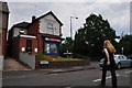
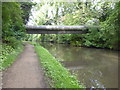
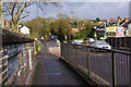
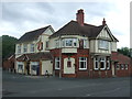
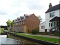
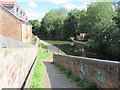
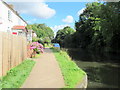
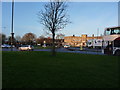
48 photos from this area
Area Information
Key information about the B38 0AD including its size, population, and administrative classification.
- Area Type
- Postcode
- Area Size
- 1.0 hectares
- Population
- 1763
- Population Density
- 4757 people/km²
House Prices in B38 0AD
32
Properties
£98,979
Average Sold Price
£48,000
Lowest Price
£155,000
Highest Price
Showing 32 properties
| Address | Type | Beds | Baths | Last Sale Price | Last Sale Date | |
|---|---|---|---|---|---|---|
| 31 Harbinger Road, Birmingham, B38 0AD | house | - | - | £70,000 | Nov 2025 | |
| 2 Harbinger Road, Birmingham, B38 0AD | Flat | 2 | - | £151,250 | Nov 2022 | |
| 6 Harbinger Road, Birmingham, B38 0AD | Maisonette | 2 | 1 | £141,500 | Apr 2022 | |
| 10 Harbinger Road, Birmingham, B38 0AD | Flat | - | - | £78,000 | Sep 2021 | |
| 14 Harbinger Road, Birmingham, B38 0AD | Flat | 2 | 1 | £130,000 | Feb 2021 | |
| 27 Harbinger Road, Birmingham, B38 0AD | Semi-detached | 2 | 1 | £155,000 | Nov 2019 | |
| 18 Harbinger Road, Birmingham, B38 0AD | Flat | 2 | 1 | £109,000 | Oct 2015 | |
| 8 Harbinger Road, Birmingham, B38 0AD | Maisonette | 2 | 1 | £78,000 | May 2015 | |
| 21 Harbinger Road, Birmingham, B38 0AD | Terraced | 2 | 1 | £123,500 | Aug 2014 | |
| 29 Harbinger Road, Birmingham, B38 0AD | house | - | - | £120,000 | Mar 2014 |
Page 1 of 4
Energy Efficiency in B38 0AD
Amenities
Schools
| Rank | School | Type | Entry gender | Ages |
|---|
Explore more schools in this area
Go to Schools tabDemographics
Household Size
One person
most common
Accommodation Type
Houses
most common
Tenure
65
majority
Ethnic Group
White
most common
Religion
N/A
most common
Household Composition
N/A
most common
Age
47
median
Adults (30-64 years)
most common
Household Deprivation
N/A
with no deprivation
NS-SEC
32
in Lower managerial occupations
Explore more demographic insights in this area
Go to Demographics tabPlanning
Planning Constraints
- Flood RiskPremium
- Ramsar Wetland SitesPremium
- Area of Outstanding Natural BeautyPremium
- Protected Nature ReservePremium
- Protected WoodlandPremium