Area Overview for B14 5QN
Photos of B14 5QN
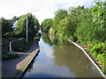
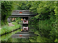
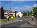
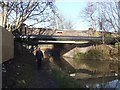
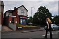
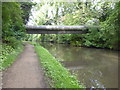
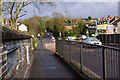
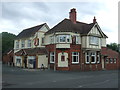
48 photos from this area
Area Information
Key information about the B14 5QN including its size, population, and administrative classification.
- Area Type
- Postcode
- Area Size
- 6925 m²
- Population
- 1763
- Population Density
- 4757 people/km²
House Prices in B14 5QN
21
Properties
£150,050
Average Sold Price
£40,000
Lowest Price
£302,000
Highest Price
Showing 21 properties
| Address | Type | Beds | Baths | Last Sale Price | Last Sale Date | |
|---|---|---|---|---|---|---|
| 44 Bells Lane, Birmingham, B14 5QN | house | 3 | 1 | £273,000 | Sep 2022 | |
| 26 Bells Lane, Birmingham, B14 5QN | house | 5 | 1 | £302,000 | Jul 2022 | |
| 34 Bells Lane, Birmingham, B14 5QN | house | - | - | £182,000 | Jan 2022 | |
| 28 Bells Lane, Birmingham, B14 5QN | Semi-detached | 4 | 1 | £237,250 | Oct 2019 | |
| 38 Bells Lane, Birmingham, B14 5QN | Semi-detached | 2 | - | £182,500 | Sep 2019 | |
| 46 Bells Lane, Birmingham, B14 5QN | house | - | - | £180,000 | May 2016 | |
| 36 Bells Lane, Birmingham, B14 5QN | house | 4 | - | £160,000 | May 2016 | |
| 14 Bells Lane, Birmingham, B14 5QN | Semi-detached | 3 | 1 | £205,000 | Jul 2015 | |
| 24 Bells Lane, Birmingham, B14 5QN | house | 3 | - | £136,000 | Jul 2012 | |
| 18 Bells Lane, Birmingham, B14 5QN | Semi-detached | - | - | £110,000 | Jan 2009 |
Page 1 of 3
Energy Efficiency in B14 5QN
Amenities
Schools
| Rank | School | Type | Entry gender | Ages |
|---|
Explore more schools in this area
Go to Schools tabDemographics
Household Size
One person
most common
Accommodation Type
Houses
most common
Tenure
65
majority
Ethnic Group
White
most common
Religion
N/A
most common
Household Composition
N/A
most common
Age
47
median
Adults (30-64 years)
most common
Household Deprivation
N/A
with no deprivation
NS-SEC
32
in Lower managerial occupations
Explore more demographic insights in this area
Go to Demographics tabPlanning
Planning Constraints
- Flood RiskPremium
- Ramsar Wetland SitesPremium
- Area of Outstanding Natural BeautyPremium
- Protected Nature ReservePremium
- Protected WoodlandPremium