Area Overview for B36 8LB
Photos of B36 8LB
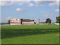

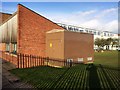
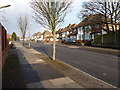
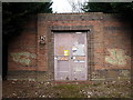
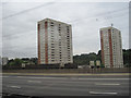
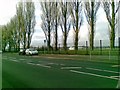
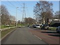
26 photos from this area
Area Information
Key information about the B36 8LB including its size, population, and administrative classification.
- Area Type
- Postcode
- Area Size
- 2.0 hectares
- Population
- 1987
- Population Density
- 7811 people/km²
House Prices in B36 8LB
51
Properties
£178,754
Average Sold Price
£27,750
Lowest Price
£317,000
Highest Price
Showing 51 properties
| Address | Type | Beds | Baths | Last Sale Price | Last Sale Date | |
|---|---|---|---|---|---|---|
| 24 Twycross Grove, Birmingham, B36 8LB | Semi-detached | 3 | 2 | £315,000 | Nov 2022 | |
| 23 Twycross Grove, Birmingham, B36 8LB | house | - | - | £305,000 | Sep 2022 | |
| 21 Twycross Grove, Birmingham, B36 8LB | house | - | - | £305,000 | Sep 2022 | |
| 19 Twycross Grove, Birmingham, B36 8LB | Retail | 3 | - | £300,000 | Aug 2022 | |
| 3 Twycross Grove, Birmingham, B36 8LB | Semi-detached | 3 | 1 | £299,950 | May 2022 | |
| 15 Twycross Grove, Birmingham, B36 8LB | Retail | 3 | 1 | £317,000 | May 2022 | |
| 48 Twycross Grove, Birmingham, B36 8LB | house | - | - | £279,950 | Dec 2021 | |
| 45 Twycross Grove, Birmingham, B36 8LB | Terraced | - | - | £27,750 | May 2021 | |
| 5 Twycross Grove, Birmingham, B36 8LB | house | - | - | £258,000 | Jan 2021 | |
| 1 Twycross Grove, Birmingham, B36 8LB | Semi-detached | 3 | 1 | £220,000 | Nov 2019 |
Page 1 of 6
Energy Efficiency in B36 8LB
Amenities
Schools
| Rank | School | Type | Entry gender | Ages |
|---|
Explore more schools in this area
Go to Schools tabDemographics
Household Size
Family (3-5 people)
most common
Accommodation Type
Houses
most common
Tenure
74
majority
Ethnic Group
asian_total
most common
Religion
N/A
most common
Household Composition
N/A
most common
Age
22
median
Adults (30-64 years)
most common
Household Deprivation
N/A
with no deprivation
NS-SEC
22
in Lower managerial occupations
Explore more demographic insights in this area
Go to Demographics tabPlanning
Planning Constraints
- Flood RiskPremium
- Ramsar Wetland SitesPremium
- Area of Outstanding Natural BeautyPremium
- Protected Nature ReservePremium
- Protected WoodlandPremium