Area Overview for B36 8EN
Photos of B36 8EN
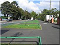
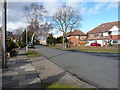
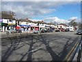
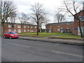
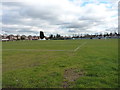
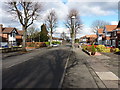
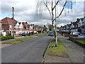
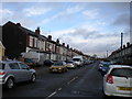
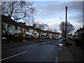
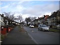
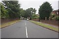

39 photos from this area
Area Information
Key information about the B36 8EN including its size, population, and administrative classification.
- Area Type
- Postcode
- Area Size
- 3.5 hectares
- Population
- 2098
- Population Density
- 6823 people/km²
House Prices in B36 8EN
58
Properties
£223,426
Average Sold Price
£37,825
Lowest Price
£485,000
Highest Price
Showing 58 properties
| Address | Type | Beds | Baths | Last Sale Price | Last Sale Date | |
|---|---|---|---|---|---|---|
| 46 Douglas Avenue, Birmingham, B36 8EN | Detached | 3 | 1 | £315,000 | Dec 2024 | |
| 12 Douglas Avenue, Birmingham, B36 8EN | Semi-detached | 3 | 1 | £317,500 | Jun 2024 | |
| 21 Douglas Avenue, Birmingham, B36 8EN | Semi-detached | 3 | - | £330,000 | Jun 2023 | |
| 50 Douglas Avenue, Birmingham, B36 8EN | Semi-detached | 3 | 1 | £305,000 | Sep 2022 | |
| 53 Douglas Avenue, Birmingham, B36 8EN | Detached | 6 | 3 | £485,000 | Aug 2022 | |
| 34 Douglas Avenue, Birmingham, B36 8EN | Semi-detached | 3 | 1 | £327,500 | Jul 2022 | |
| 39 Douglas Avenue, Birmingham, B36 8EN | house | - | - | £290,000 | Mar 2022 | |
| 38 Douglas Avenue, Birmingham, B36 8EN | house | - | - | £285,500 | Sep 2021 | |
| 63 Douglas Avenue, Birmingham, B36 8EN | house | - | - | £280,000 | Jun 2021 | |
| 67 Douglas Avenue, Birmingham, B36 8EN | Semi-detached | 3 | 2 | £296,000 | Nov 2019 |
Page 1 of 6
Energy Efficiency in B36 8EN
Amenities
Schools
| Rank | School | Type | Entry gender | Ages |
|---|
Explore more schools in this area
Go to Schools tabDemographics
Household Size
Family (3-5 people)
most common
Accommodation Type
Houses
most common
Tenure
86
majority
Ethnic Group
asian_total
most common
Religion
N/A
most common
Household Composition
N/A
most common
Age
22
median
Adults (30-64 years)
most common
Household Deprivation
N/A
with no deprivation
NS-SEC
19
in Lower managerial occupations
Explore more demographic insights in this area
Go to Demographics tabPlanning
Planning Constraints
- Flood RiskPremium
- Ramsar Wetland SitesPremium
- Area of Outstanding Natural BeautyPremium
- Protected Nature ReservePremium
- Protected WoodlandPremium