Area Overview for B36 8EH
Photos of B36 8EH
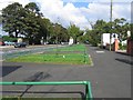
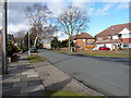
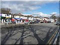
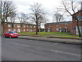
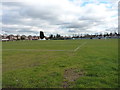
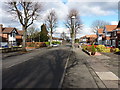
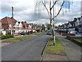
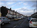
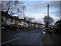
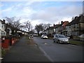
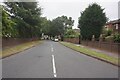
39 photos from this area
Area Information
Key information about the B36 8EH including its size, population, and administrative classification.
- Area Type
- Postcode
- Area Size
- 4019 m²
- Population
- 2098
- Population Density
- 6823 people/km²
House Prices in B36 8EH
6
Properties
£224,750
Average Sold Price
£189,000
Lowest Price
£278,000
Highest Price
Showing 6 properties
| Address | Type | Beds | Baths | Last Sale Price | Last Sale Date | |
|---|---|---|---|---|---|---|
| 86 Sandhurst Avenue, Birmingham, B36 8EH | Detached | 5 | 2 | £278,000 | May 2019 | |
| 91 Sandhurst Avenue, Birmingham, B36 8EH | Semi-detached | - | - | £235,000 | Dec 2005 | |
| 84 Sandhurst Avenue, Birmingham, B36 8EH | Semi-detached | - | - | £197,000 | Jul 2003 | |
| 88 Sandhurst Avenue, Birmingham, B36 8EH | house | - | - | £189,000 | Mar 2003 | |
| 87 Sandhurst Avenue, Birmingham, B36 8EH | house | 3 | - | - | - | |
| 89 Sandhurst Avenue, Birmingham, B36 8EH | Terraced | - | - | - | - |
Energy Efficiency in B36 8EH
Amenities
Schools
| Rank | School | Type | Entry gender | Ages |
|---|
Explore more schools in this area
Go to Schools tabDemographics
Household Size
Family (3-5 people)
most common
Accommodation Type
Houses
most common
Tenure
86
majority
Ethnic Group
asian_total
most common
Religion
N/A
most common
Household Composition
N/A
most common
Age
22
median
Adults (30-64 years)
most common
Household Deprivation
N/A
with no deprivation
NS-SEC
19
in Lower managerial occupations
Explore more demographic insights in this area
Go to Demographics tabPlanning
Planning Constraints
- Flood RiskPremium
- Ramsar Wetland SitesPremium
- Area of Outstanding Natural BeautyPremium
- Protected Nature ReservePremium
- Protected WoodlandPremium