Area Overview for B34 7JF
Photos of B34 7JF
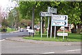
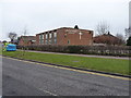

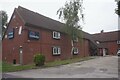
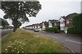
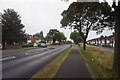
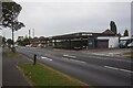
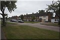
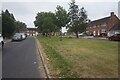

30 photos from this area
Area Information
Key information about the B34 7JF including its size, population, and administrative classification.
- Area Type
- Postcode
- Area Size
- 7915 m²
- Population
- 1849
- Population Density
- 5350 people/km²
House Prices in B34 7JF
34
Properties
£121,730
Average Sold Price
£34,950
Lowest Price
£240,000
Highest Price
Showing 34 properties
| Address | Type | Beds | Baths | Last Sale Price | Last Sale Date | |
|---|---|---|---|---|---|---|
| 22 Sambourne Drive, Birmingham, B34 7JF | Terraced | 2 | 1 | £195,000 | Oct 2025 | |
| 42 Sambourne Drive, Birmingham, B34 7JF | Terraced | 2 | - | £180,000 | Feb 2025 | |
| 10 Sambourne Drive, Birmingham, B34 7JF | Semi-detached | 2 | 1 | £210,000 | Feb 2025 | |
| 38 Sambourne Drive, Birmingham, B34 7JF | Semi-detached | 3 | 1 | £240,000 | Dec 2023 | |
| 11 Sambourne Drive, Birmingham, B34 7JF | Terraced | 2 | 1 | £180,000 | Jul 2023 | |
| 44 Sambourne Drive, Birmingham, B34 7JF | Terraced | 2 | 1 | £170,000 | May 2023 | |
| 12 Sambourne Drive, Birmingham, B34 7JF | Semi-detached | 2 | - | £196,000 | Jul 2022 | |
| 33 Sambourne Drive, Birmingham, B34 7JF | house | 2 | - | £163,500 | Jul 2022 | |
| 24 Sambourne Drive, Birmingham, B34 7JF | house | - | - | £190,000 | Aug 2021 | |
| 17 Sambourne Drive, Birmingham, B34 7JF | Terraced | 2 | 1 | £155,000 | Feb 2019 |
Page 1 of 4
Energy Efficiency in B34 7JF
Amenities
Schools
| Rank | School | Type | Entry gender | Ages |
|---|
Explore more schools in this area
Go to Schools tabDemographics
Household Size
One person
most common
Accommodation Type
Houses
most common
Tenure
53
majority
Ethnic Group
White
most common
Religion
N/A
most common
Household Composition
N/A
most common
Age
47
median
Adults (30-64 years)
most common
Household Deprivation
N/A
with no deprivation
NS-SEC
20
in Lower managerial occupations
Explore more demographic insights in this area
Go to Demographics tabPlanning
Planning Constraints
- Flood RiskPremium
- Ramsar Wetland SitesPremium
- Area of Outstanding Natural BeautyPremium
- Protected Nature ReservePremium
- Protected WoodlandPremium