Area Overview for B33 8PD
Photos of B33 8PD

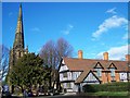

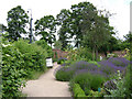
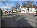
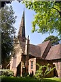
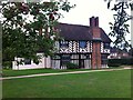
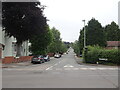
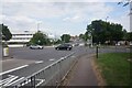
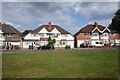
53 photos from this area
Area Information
Key information about the B33 8PD including its size, population, and administrative classification.
- Area Type
- Postcode
- Area Size
- 2.7 hectares
- Population
- 1738
- Population Density
- 4530 people/km²
House Prices in B33 8PD
8
Properties
£242,983
Average Sold Price
£149,000
Lowest Price
£330,000
Highest Price
Showing 8 properties
| Address | Type | Beds | Baths | Last Sale Price | Last Sale Date | |
|---|---|---|---|---|---|---|
| Ivy Cottage, School Lane, Stechford And Yardley North, Birmingham, B33 8PD | Semi-detached | 3 | 1 | £149,000 | Sep 2017 | |
| Meriden House, School Lane, Stechford And Yardley North, Birmingham, B33 8PD | Semi-detached | - | - | £330,000 | Jan 2008 | |
| Hollycroft, School Lane, Stechford And Yardley North, Birmingham, B33 8PD | Detached | - | - | £249,950 | Apr 2002 | |
| Living Accommodation, Olton Cottage Guest House, 2 School Lane, Stechford And Yardley North, Birmingham, B33 8PD | Terraced | 4 | 1 | - | - | |
| Ivy House, School Lane, Stechford And Yardley North, Birmingham, B33 8PD | Semi-detached | 3 | 1 | - | - | |
| Olton Cottage Guest House, 2 School Lane, Stechford And Yardley North, Birmingham, B33 8PD | house | - | - | - | - | |
| Church Hall, School Lane, Stechford And Yardley North, Birmingham, B33 8PD | commercial | - | - | - | - | |
| Frank Stones Garage Ltd, School Lane, Stechford And Yardley North, Birmingham, B33 8PD | general_industrial | - | - | - | - |
Energy Efficiency in B33 8PD
Amenities
Schools
| Rank | School | Type | Entry gender | Ages |
|---|
Explore more schools in this area
Go to Schools tabDemographics
Household Size
One person
most common
Accommodation Type
Houses
most common
Tenure
73
majority
Ethnic Group
White
most common
Religion
N/A
most common
Household Composition
N/A
most common
Age
47
median
Adults (30-64 years)
most common
Household Deprivation
N/A
with no deprivation
NS-SEC
29
in Lower managerial occupations
Explore more demographic insights in this area
Go to Demographics tabPlanning
Planning Constraints
- Flood RiskPremium
- Ramsar Wetland SitesPremium
- Area of Outstanding Natural BeautyPremium
- Protected Nature ReservePremium
- Protected WoodlandPremium