Area Overview for B32 4LS
Photos of B32 4LS
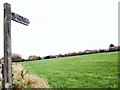
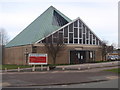
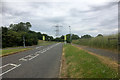
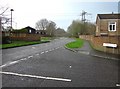
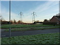

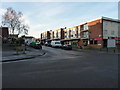
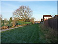
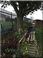
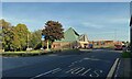
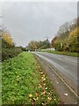
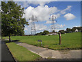
29 photos from this area
Area Information
Key information about the B32 4LS including its size, population, and administrative classification.
- Area Type
- Postcode
- Area Size
- 8207 m²
- Population
- 1176
- Population Density
- 4621 people/km²
House Prices in B32 4LS
35
Properties
£129,139
Average Sold Price
£23,000
Lowest Price
£249,000
Highest Price
Showing 35 properties
| Address | Type | Beds | Baths | Last Sale Price | Last Sale Date | |
|---|---|---|---|---|---|---|
| 244 Pinewood Drive, Birmingham, B32 4LS | Semi-detached | 3 | 1 | £249,000 | Sep 2023 | |
| 240 Pinewood Drive, Birmingham, B32 4LS | house | 3 | 1 | £180,000 | Apr 2023 | |
| 204 Pinewood Drive, Birmingham, B32 4LS | house | - | - | £225,000 | Aug 2022 | |
| 214 Pinewood Drive, Birmingham, B32 4LS | Semi-detached | 3 | 1 | £178,000 | Jul 2021 | |
| 206 Pinewood Drive, Birmingham, B32 4LS | Terraced | 3 | 1 | £175,000 | Feb 2019 | |
| 248 Pinewood Drive, Birmingham, B32 4LS | Semi-detached | 3 | 1 | £175,500 | Feb 2018 | |
| 216 Pinewood Drive, Birmingham, B32 4LS | house | - | - | £90,000 | Sep 2011 | |
| 232 Pinewood Drive, Birmingham, B32 4LS | Terraced | 3 | 1 | £124,000 | Apr 2007 | |
| 226 Pinewood Drive, Birmingham, B32 4LS | Semi-detached | - | - | £99,000 | Feb 2003 | |
| 236 Pinewood Drive, Birmingham, B32 4LS | house | - | - | £97,950 | Nov 2002 |
Page 1 of 4
Energy Efficiency in B32 4LS
Amenities
Schools
| Rank | School | Type | Entry gender | Ages |
|---|
Explore more schools in this area
Go to Schools tabDemographics
Household Size
Two person
most common
Accommodation Type
Houses
most common
Tenure
89
majority
Ethnic Group
White
most common
Religion
N/A
most common
Household Composition
N/A
most common
Age
47
median
Adults (30-64 years)
most common
Household Deprivation
N/A
with no deprivation
NS-SEC
28
in Lower managerial occupations
Explore more demographic insights in this area
Go to Demographics tabPlanning
Planning Constraints
- Flood RiskPremium
- Ramsar Wetland SitesPremium
- Area of Outstanding Natural BeautyPremium
- Protected Nature ReservePremium
- Protected WoodlandPremium